Transport Functions
Road
Multimodal
Hub Profile
Place type
Populated place
Region
Texas
Time zone
America/Chicago
Elevation
142 m
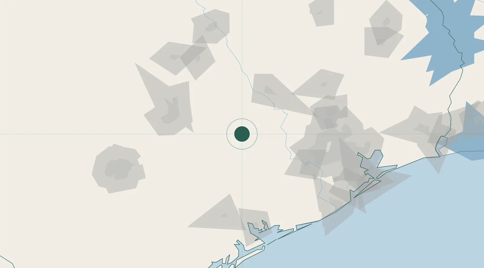
Location
Nearby Logistics Neighbours
Cities
- 1Carmine14 km
- 2Fayetteville15 km
- 3Giddings26 km
- 4Muldoon40 km
- 5Schulenburg42 km
Ports
- 1Deer Park138 km
- 2Houston143 km
- 3Pasadena150 km
- 4Port Lavaca156 km
- 5Palacios157 km
Airports
Trade Zones
- 1FTZ No. 183 Austin101 km
- 2FTZ No. 084 Harris County140 km
- 3FTZ No. 171 Liberty County160 km
- 4FTZ No. 149 Freeport173 km
- 5FTZ No. 246 Waco178 km
DatabookThe Record of Consolidated Knowledge
United States beyond logistics?