Medium airport · United States
Easterwood FieldKCLL
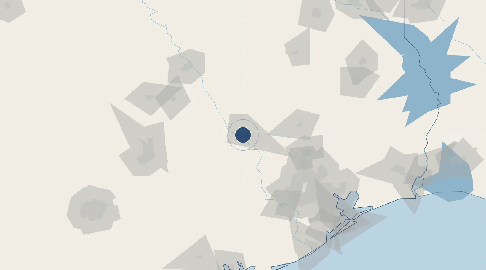
30.5886°, -96.3638°
7,000 ft
Longest runway
2
Runways
320 ft
Elevation
Runway & Layout

Radio Frequencies
ATIS
126.85 MHz
TWR
118.5 MHz
GND
128.7 MHz
CTAF
118.5 MHz
CNTR
120.4 MHz
HOUSTON CNTR
RDO
122.2 MHz
MONTGOMERY CO RDO
UNIC
122.95 MHz
UNICOM
Navaids
CL NDB Rowdy 260 kHz
CLL VORTAC College Station 113.30 MHz
Runways · 2
| Runway | Dimensions | Surface | True heading | Lit |
|---|---|---|---|---|
| 17/35 | 7,000 × 146ft | Asphalt / concrete | 169° | ✓ |
| 11/29 | 5,158 × 150ft | Asphalt | 109° | ✓ |
Airport Specifications
IATA code
CLL
ICAO code
KCLL
Airport class
Medium airport
Scheduled service
Yes
Runway surface
Asphalt / concrete
Served city
College Station
Location
Nearby Logistics Neighbours
Airports
Cities
- 1Millican21 km
- 2Mumford24 km
- 3Navasota35 km
- 4Prairie Hill, Washington38 km
- 5Chriesman39 km
Ports
- 1Deer Park136 km
- 2Houston140 km
- 3Pasadena147 km
- 4Baytown161 km
- 5Texas City193 km
Trade Zones
- 1FTZ No. 171 Liberty County131 km
- 2FTZ No. 084 Harris County134 km
- 3FTZ No. 183 Austin137 km
- 4FTZ No. 246 Waco137 km
- 5FTZ No. 297 Lufkin170 km
DatabookThe Record of Consolidated Knowledge
United States beyond logistics?