Transport Functions
Port
Road
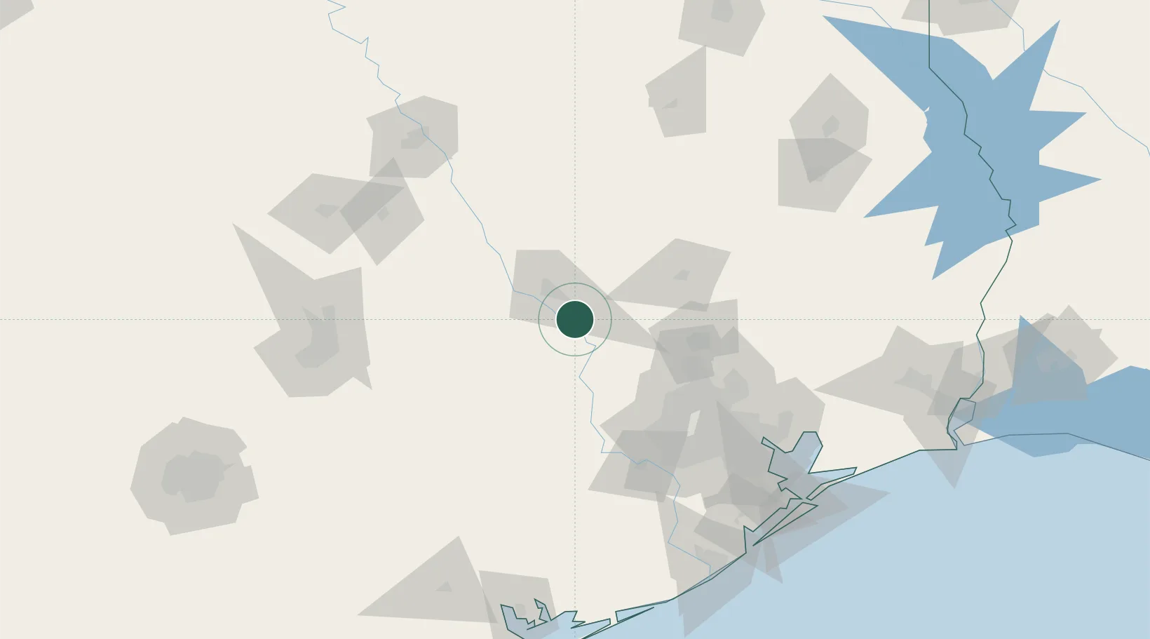
Hub Profile
Place type
Populated place
Region
Texas
Population
243
Time zone
America/Chicago
Elevation
95 m
Location
Nearby Logistics Neighbours
Cities
- 1Navasota15 km
- 2Prairie Hill, Washington30 km
- 3Hemstead44 km
- 4Mumford45 km
- 5Montgomery49 km
Ports
- 1Deer Park115 km
- 2Houston119 km
- 3Pasadena126 km
- 4Baytown140 km
- 5Texas City173 km
Airports
Trade Zones
- 1FTZ No. 171 Liberty County112 km
- 2FTZ No. 084 Harris County114 km
- 3FTZ No. 183 Austin149 km
- 4FTZ No. 246 Waco157 km
- 5FTZ No. 297 Lufkin164 km
DatabookThe Record of Consolidated Knowledge
United States beyond logistics?