Transport Functions
Rail
Road
Multimodal
Hub Profile
Region
TX
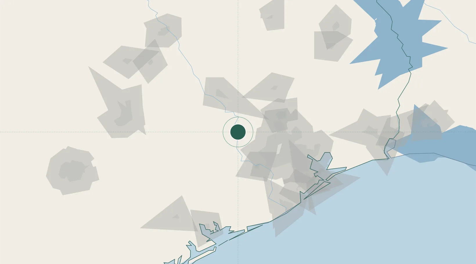
Location
Nearby Logistics Neighbours
Cities
- 1Navasota33 km
- 2Prairie Hill, Washington34 km
- 3Magnolia35 km
- 4Millican44 km
- 5Fulshear49 km
Ports
- 1Deer Park81 km
- 2Houston86 km
- 3Pasadena93 km
- 4Baytown110 km
- 5Texas City137 km
Airports
Trade Zones
- 1FTZ No. 084 Harris County81 km
- 2FTZ No. 171 Liberty County97 km
- 3FTZ No. 199 Texas City136 km
- 4FTZ No. 149 Freeport141 km
- 5FTZ No. 036 Galveston151 km
DatabookThe Record of Consolidated Knowledge
United States beyond logistics?