UN/LOCODE hub · United States
USHXF
Hungerford
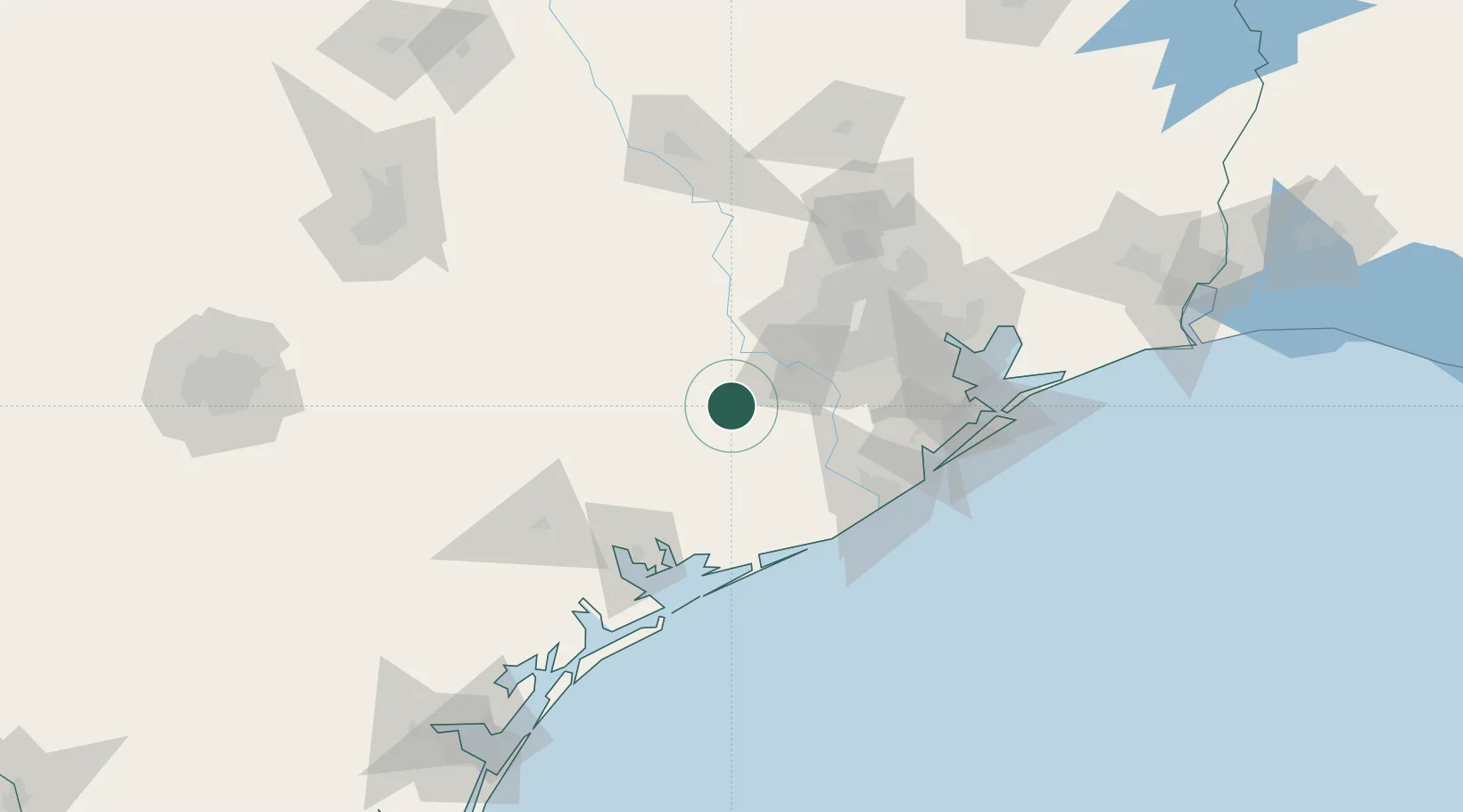
29.4000°, -96.0833°
347
Population
3
Transport functions
Transport Functions
Port
Rail
Road
Hub Profile
Place type
Populated place
Region
Texas
Population
347
Time zone
America/Chicago
Elevation
32 m
Location
Nearby Logistics Neighbours
Cities
- 1East Bernard13 km
- 2El Campo30 km
- 3Rosenberg32 km
- 4Fulshear37 km
- 5Sugar Land49 km
Airports
Trade Zones
- 1FTZ No. 149 Freeport81 km
- 2FTZ No. 084 Harris County88 km
- 3FTZ No. 199 Texas City112 km
- 4FTZ No. 036 Galveston125 km
- 5FTZ No. 171 Liberty County130 km
DatabookThe Record of Consolidated Knowledge
United States beyond logistics?