UN/LOCODE hub · United States
US4NM
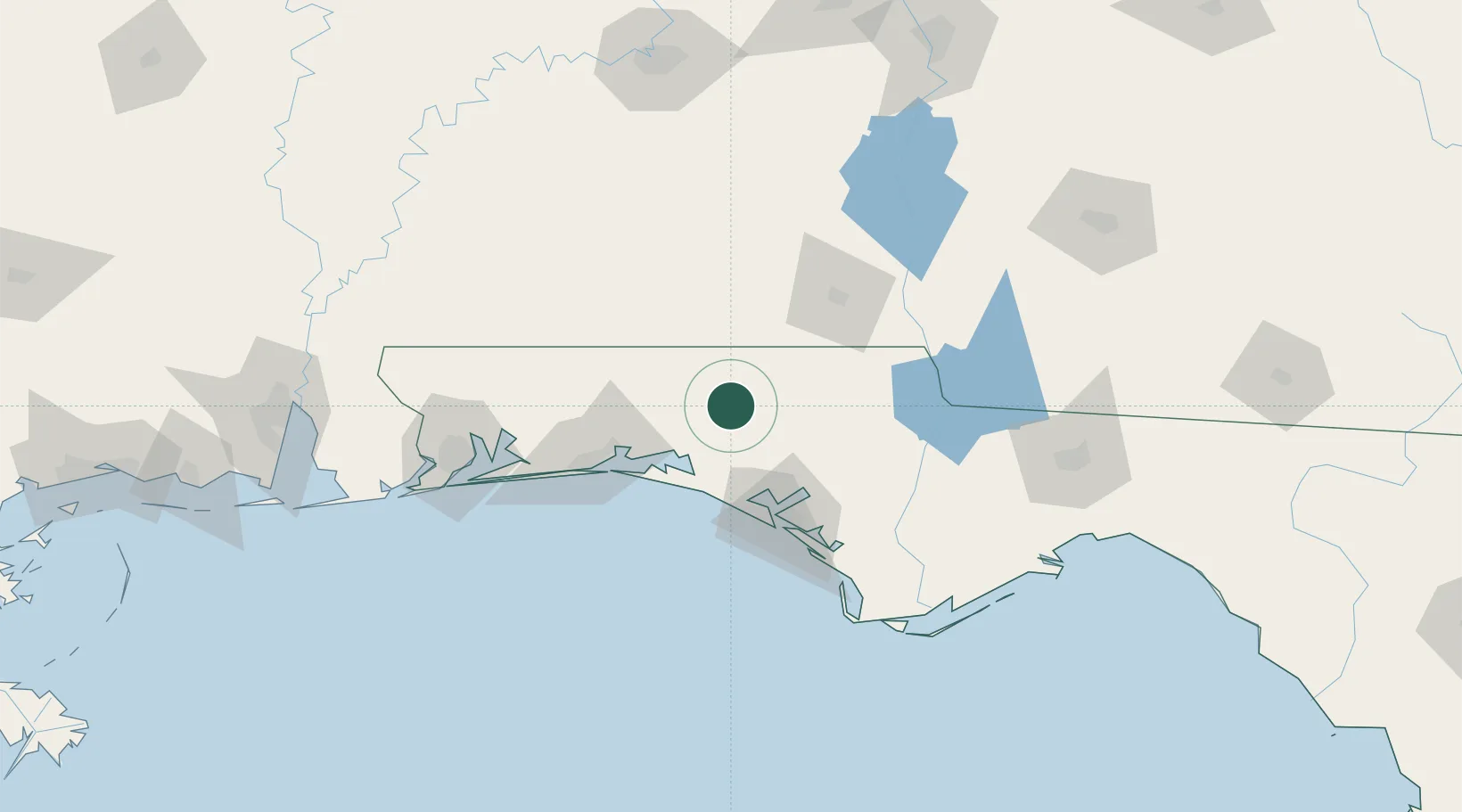
Ponce de Leon
30.7167°, -85.9333°
549
Population
2
Transport functions
Transport Functions
Port
Road
Hub Profile
Place type
Populated place
Region
Florida
Population
549
Time zone
America/Chicago
Elevation
19 m
Location
Nearby Logistics Neighbours
Cities
- 1De Funiak Springs16 km
- 2Bonifay27 km
- 3Freeport32 km
- 4Santa Rosa Beach45 km
- 5Hartford48 km
Ports
- 1Panama City70 km
- 2Port St Joe116 km
- 3Pensacola128 km
- 4Apalachicola144 km
- 5Carrabelle155 km
Airports
Trade Zones
- 1FTZ No. 065 Panama City60 km
- 2FTZ No. 233 Dothan75 km
- 3FTZ No. 249 Pensacola131 km
- 4FTZ No. 222 Montgomery188 km
- 5FTZ No. 082 Mobile206 km
DatabookThe Record of Consolidated Knowledge
United States beyond logistics?