UN/LOCODE hub · United States
USDU5
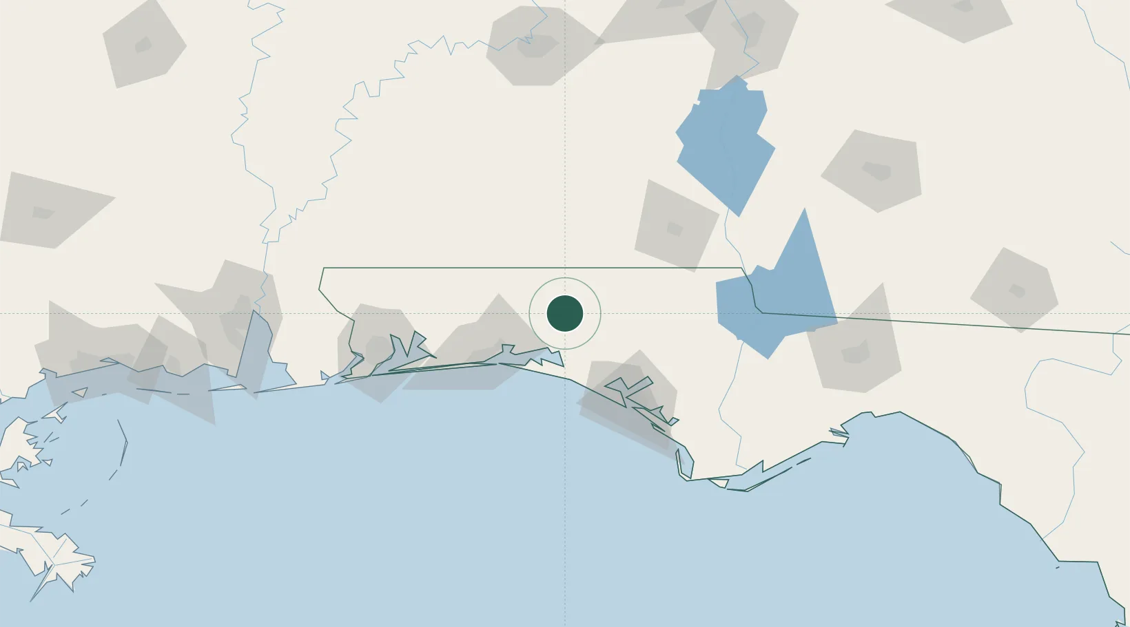
De Funiak Springs
30.7167°, -86.1000°
5,795
Population
1
Transport functions
Transport Functions
Port
Hub Profile
Place type
Provincial seat
Region
Florida
Population
5,795
Time zone
America/Chicago
Elevation
79 m
Location
Nearby Logistics Neighbours
Cities
- 1Ponce de Leon16 km
- 2Freeport26 km
- 3Santa Rosa Beach38 km
- 4Bonifay42 km
- 5Miramar Beach47 km
Ports
- 1Panama City78 km
- 2Pensacola113 km
- 3Port St Joe125 km
- 4Apalachicola155 km
- 5Carrabelle168 km
Airports
Trade Zones
- 1FTZ No. 065 Panama City67 km
- 2FTZ No. 233 Dothan86 km
- 3FTZ No. 249 Pensacola116 km
- 4FTZ No. 222 Montgomery185 km
- 5FTZ No. 082 Mobile190 km
DatabookThe Record of Consolidated Knowledge
United States beyond logistics?