Transport Functions
Port
Road
Multimodal
Hub Profile
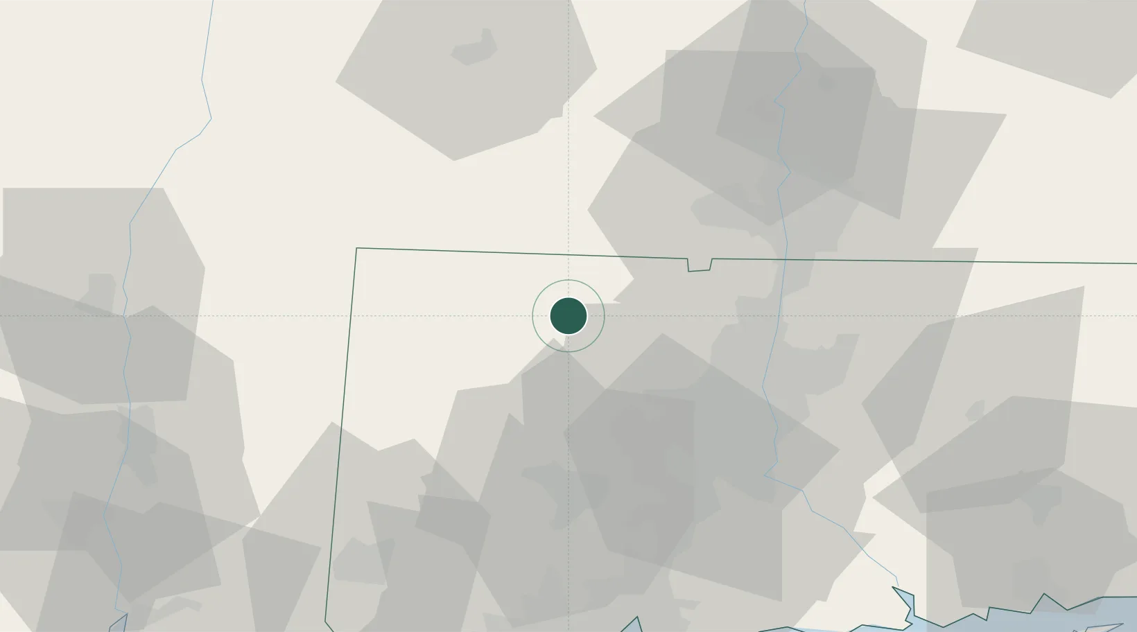
Place type
Populated place
Region
Connecticut
Population
7,712
Time zone
America/New_York
Elevation
216 m
Location
Nearby Logistics Neighbours
Cities
- 1Norfolk16 km
- 2Goshen17 km
- 3Litchfield23 km
- 4Southfield25 km
- 5Canaan26 km
Ports
- 1Catskill74 km
- 2Kingston76 km
- 3New Haven77 km
- 4Poughkeepsie78 km
- 5Essex84 km
Airports
Trade Zones
- 1FTZ No. 071 Windsor Locks35 km
- 2FTZ No. 201 Holyoke44 km
- 3FTZ No. 162 New Haven69 km
- 4FTZ No. 076 Bridgeport83 km
- 5FTZ No. 208 New London101 km
DatabookThe Record of Consolidated Knowledge
United States beyond logistics?