Channel & Berth Profile
Pilotage, Tugs & Services
Pilotage compulsoryYES
Tug assistanceYES
Shore powerYES
Potable waterYES
Diesel bunkersYES
MedicalYES
Garbage disposalYES
Facilities & Capabilities
Container—
Ro-Ro—
Liquid bulk—
Dry bulk—
Oil terminal—
Break bulk—
Dry dock—
RepairsNO
BunkeringYES
Rail linkYES
Dangerous cargo—
ISPS security—
Harbour Specifications
Harbour size
Small
Harbour type
Coastal (Breakwater)
Shelter
Good
Water body
North Atlantic Ocean
Tidal range
1.8 m
Overhead limit
No
Pilotage
Yes
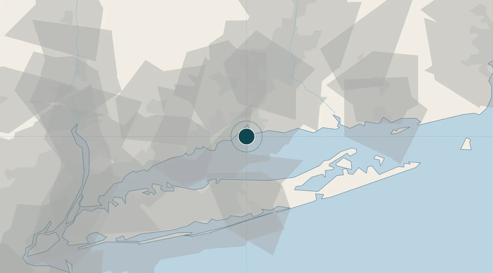
Location
Nearby Logistics Neighbours
Ports
- 1Bridgeport24 km
- 2Southport33 km
- 3Port Jefferson35 km
- 4Norwalk44 km
- 5Essex46 km
Cities
- 1Ansonia19 km
- 2Guilford20 km
- 3Northford21 km
- 4Riverside27 km
- 5Wading River32 km
Airports
Trade Zones
- 1FTZ No. 162 New Haven8 km
- 2FTZ No. 076 Bridgeport24 km
- 3FTZ No. 052 Suffolk County42 km
- 4FTZ No. 208 New London70 km
- 5FTZ No. 071 Windsor Locks81 km
DatabookThe Record of Consolidated Knowledge
United States beyond logistics?