UN/LOCODE hub · United States
USYCF
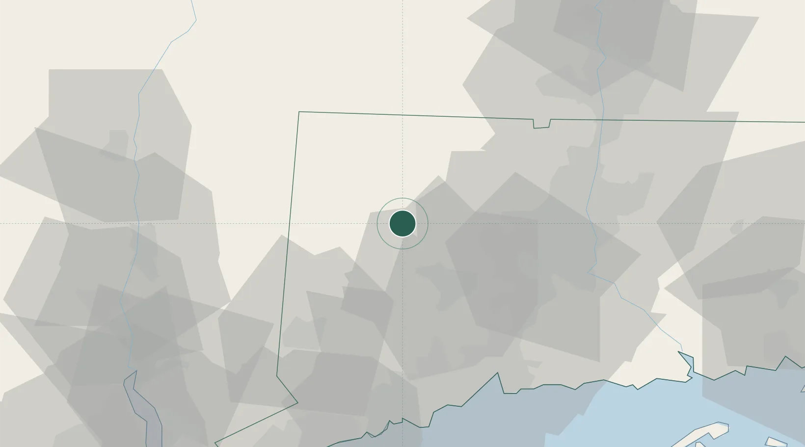
Litchfield
41.7333°, -73.1833°
1,215
Population
2
Transport functions
Transport Functions
Road
Multimodal
Hub Profile
Place type
Populated place
Region
Connecticut
Population
1,215
Time zone
America/New_York
Elevation
331 m
Location
Nearby Logistics Neighbours
Ports
- 1New Haven60 km
- 2Bridgeport63 km
- 3Poughkeepsie64 km
- 4Southport67 km
- 5Kingston69 km
Airports
Trade Zones
- 1FTZ No. 071 Windsor Locks51 km
- 2FTZ No. 162 New Haven52 km
- 3FTZ No. 076 Bridgeport62 km
- 4FTZ No. 201 Holyoke67 km
- 5FTZ No. 052 Suffolk County90 km
DatabookThe Record of Consolidated Knowledge
United States beyond logistics?