Transport Functions
Port
Rail
Road
Airport
Postal
Hub Profile
Place type
Populated place
Region
Connecticut
Time zone
America/New_York
Elevation
404 m
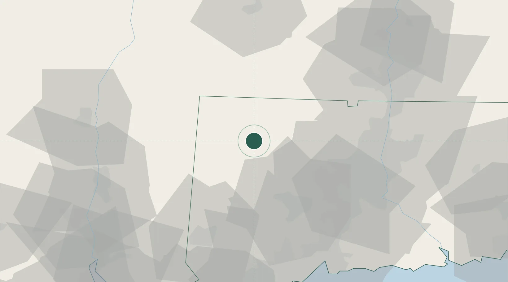
Location
Nearby Logistics Neighbours
Cities
- 1Litchfield14 km
- 2Bantam15 km
- 3Winsted17 km
- 4Norfolk17 km
- 5Morris19 km
Ports
- 1Kingston61 km
- 2Poughkeepsie62 km
- 3Catskill65 km
- 4New Haven74 km
- 5Newburgh75 km
Airports
Trade Zones
- 1FTZ No. 071 Windsor Locks51 km
- 2FTZ No. 201 Holyoke60 km
- 3FTZ No. 162 New Haven66 km
- 4FTZ No. 076 Bridgeport75 km
- 5FTZ No. 052 Suffolk County103 km
DatabookThe Record of Consolidated Knowledge
United States beyond logistics?