Medium airport · United States
Westfield-Barnes Regional AirportKBAF
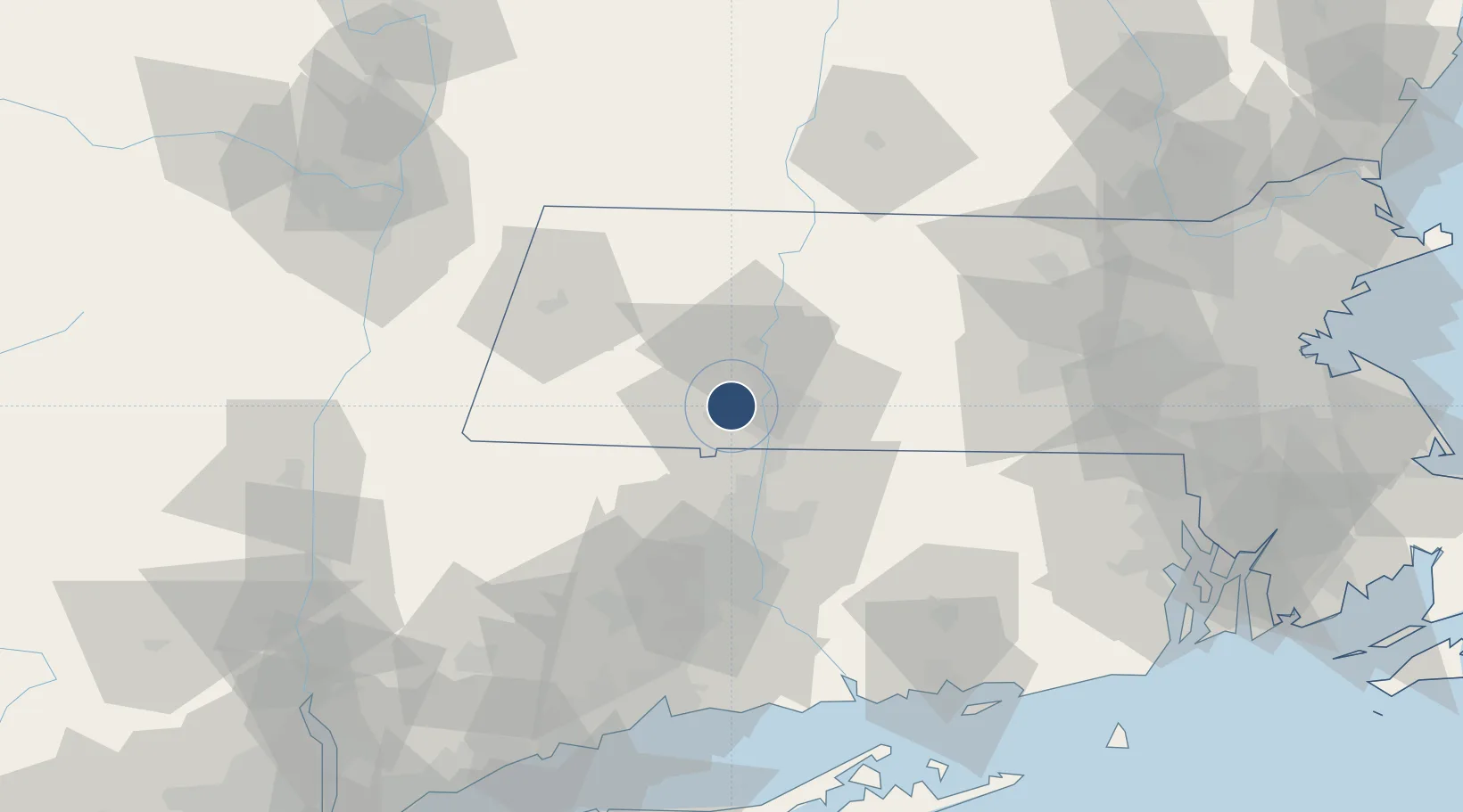
42.1578°, -72.7156°
9,000 ft
Longest runway
2
Runways
271 ft
Elevation
Runway & Layout

Radio Frequencies
ATIS
127.1 MHz
TWR
118.9 MHz
WESTFIELD TWR
GND
121.7 MHz
CLD
121.7 MHz
BRADLEY CLNC DEL
CTAF
118.9 MHz
A/D
125.35 MHz
BRADLEY APP/DEP
MISC
46.75 MHz
ARNG OPS
OPS
30.3 MHz
ANG OPS CNTR
RDO
113 MHz
BURLINGTON RDO
Navaids
BA NDB Wesie 230 kHz
BAF VORTAC Barnes 113.00 MHz
Runways · 2
| Runway | Dimensions | Surface | True heading | Lit |
|---|---|---|---|---|
| 02/20 | 9,000 × 150ft | Asphalt | 010° | ✓ |
| 15/33 | 5,000 × 75ft | Asphalt | 140° | ✓ |
Airport Specifications
IATA code
BAF
ICAO code
KBAF
Airport class
Medium airport
Scheduled service
No
Runway surface
Asphalt
Served city
Westfield
Location
Nearby Logistics Neighbours
Airports
Cities
- 1Feeding Hills11 km
- 2Russell11 km
- 3Longmeadow16 km
- 4Northampton21 km
- 5Belchertown29 km
Ports
- 1Norwich89 km
- 2Catskill94 km
- 3Essex94 km
- 4Albany101 km
- 5Rensselaer101 km
Trade Zones
- 1FTZ No. 201 Holyoke7 km
- 2FTZ No. 071 Windsor Locks26 km
- 3FTZ No. 268 Brattleboro79 km
- 4FTZ No. 162 New Haven96 km
- 5FTZ No. 208 New London103 km
DatabookThe Record of Consolidated Knowledge
United States beyond logistics?