Medium airport · United States
Hartford Brainard AirportKHFD
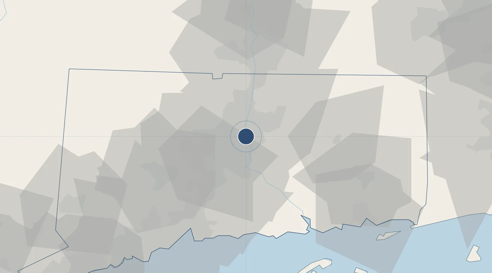
41.7367°, -72.6494°
4,417 ft
Longest runway
3
Runways
18 ft
Elevation
Runway & Layout

Radio Frequencies
ATIS
126.45 MHz
TWR
119.6 MHz
BRAINARD TWR
GND
121.6 MHz
CLD
121.6 MHz
BRADLEY CLNC DEL
CTAF
119.6 MHz
A/D
127.8 MHz
BRADLEY APP/DEP
UNIC
122.95 MHz
UNICOM
Navaids
HF NDB Lomis 244 kHz
HFD VOR-DME Hartford 114.90 MHz
Runways · 3
| Runway | Dimensions | Surface | True heading | Lit |
|---|---|---|---|---|
| 02/20 | 4,417 × 150ft | Asphalt | 009° | ✓ |
| 11/29 | 2,314 × 71ft | Asphalt | 099° | ✓ |
| NE/SW | 2,309 × 150ft | Turf | — | — |
Airport Specifications
IATA code
HFD
ICAO code
KHFD
Airport class
Medium airport
Scheduled service
No
Runway surface
Asphalt
Served city
Hartford
Location
Nearby Logistics Neighbours
Airports
Cities
- 1South Glastonbury8 km
- 2Kensington15 km
- 3Cromwell15 km
- 4Broad Brook21 km
- 5East Windsor22 km
Ports
- 1Essex48 km
- 2Norwich53 km
- 3New Haven60 km
- 4New London64 km
- 5Mystic71 km
Trade Zones
- 1FTZ No. 071 Windsor Locks22 km
- 2FTZ No. 162 New Haven53 km
- 3FTZ No. 201 Holyoke54 km
- 4FTZ No. 208 New London63 km
- 5FTZ No. 076 Bridgeport77 km
DatabookThe Record of Consolidated Knowledge
United States beyond logistics?