Large airport · United States
Bradley International AirportKBDL
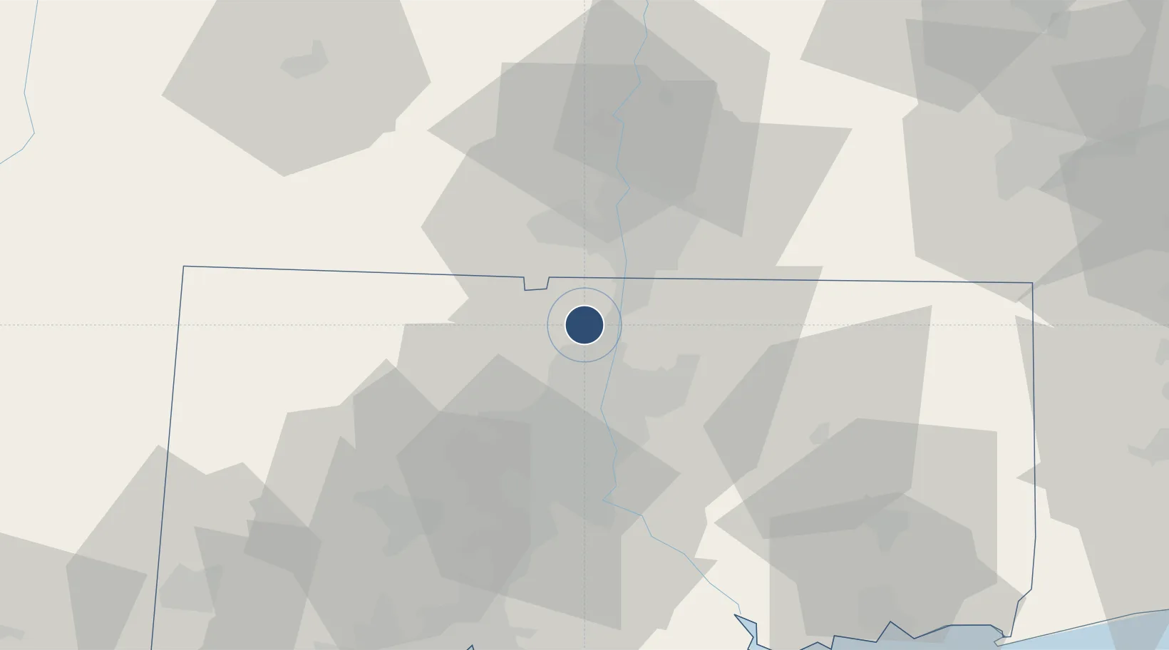
41.9386°, -72.6880°
9,510 ft
Longest runway
2
Runways
173 ft
Elevation
Runway & Layout

Radio Frequencies
ATIS
118.15 MHz
TWR
120.3 MHz
GND
121.9 MHz
CLD
121.75 MHz
CLNC DEL
APP
32.58 MHz
APP
123.95 MHz
DEP
35.9 MHz
DEP
123.95 MHz
MISC
41.9 MHz
ARNG OPS
OPS
138.55 MHz
ANG OPS
RDO
122.3 MHz
BRIDGEPORT RDO
UNIC
122.95 MHz
UNICOM
Navaids
BD NDB Chupp 388 kHz
BDL VORTAC Bradley 109.00 MHz
Runways · 2
| Runway | Dimensions | Surface | True heading | Lit |
|---|---|---|---|---|
| 06/24 | 9,510 × 200ft | Asphalt | 044° | ✓ |
| 15/33 | 6,847 × 150ft | Asphalt | 135° | ✓ |
Airport Specifications
IATA code
BDL
ICAO code
KBDL
Airport class
Large airport
Scheduled service
Yes
Runway surface
Asphalt
Served city
Hartford
Location
Nearby Logistics Neighbours
Airports
Cities
- 1East Windsor12 km
- 2Broad Brook14 km
- 3Feeding Hills14 km
- 4Longmeadow15 km
- 5Ellington19 km
Ports
- 1Norwich69 km
- 2Essex70 km
- 3New Haven81 km
- 4New London83 km
- 5Mystic89 km
Trade Zones
- 1FTZ No. 071 Windsor Locks5 km
- 2FTZ No. 201 Holyoke32 km
- 3FTZ No. 162 New Haven73 km
- 4FTZ No. 208 New London81 km
- 5FTZ No. 076 Bridgeport95 km
DatabookThe Record of Consolidated Knowledge
United States beyond logistics?