Medium airport · United States

Westover Metropolitan Airport / Westover Air Reserve BaseKCEF
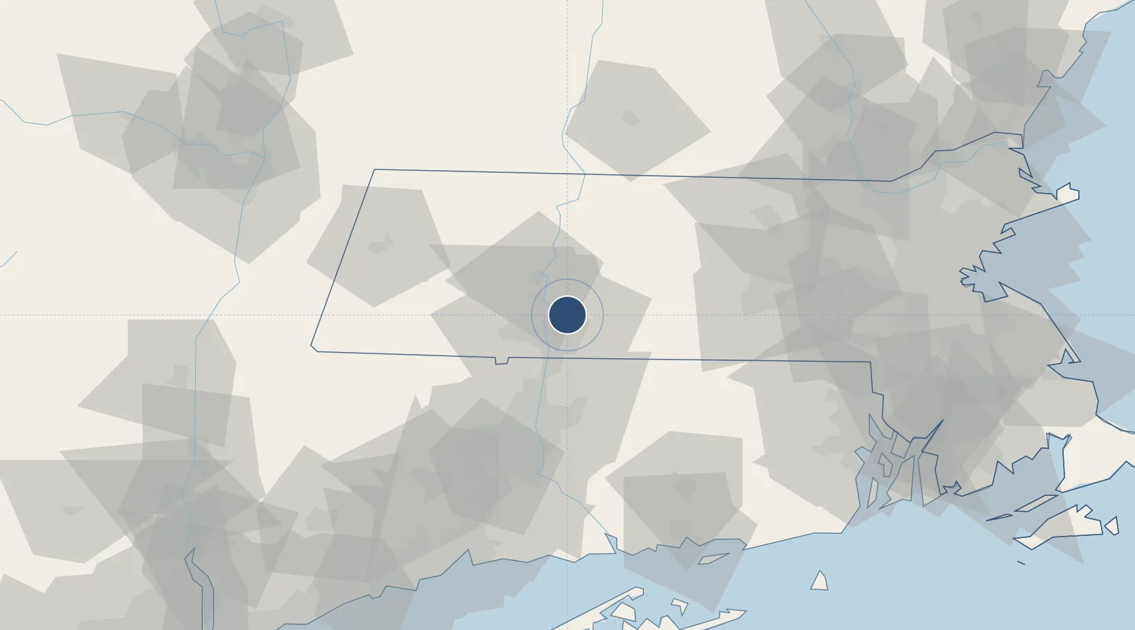
42.1940°, -72.5348°
11,597 ft
Longest runway
2
Runways
241 ft
Elevation

Runway & Layout

Westover Metropolitan Airport / Westover Air Reserve Base runway & taxiway layout
Runway & taxiway layout — OpenStreetMap (ODbL) / OurAirports

Radio Frequencies

ATIS
114 MHz
TWR
134.85 MHz
GND
118.35 MHz
A/D
125.35 MHz
BRADLEY APP/DEP
PMSV
27.475 MHz
PMSV METRO
POST
25.21 MHz
COMD POST 439 AW
PTD
37.22 MHz
UNIC
123 MHz
UNICOM
OurAirports

Navaids

CEF VORTAC Westover 114.00 MHz
OurAirports

Runways · 2

RunwayDimensions SurfaceTrue headingLit
05/23 11,597 × 300ft Asphalt 034°
15/33 7,085 × 147ft Asphalt 134°
OurAirports

Airport Specifications

IATA code
CEF
OurAirports
ICAO code
KCEF
OurAirports
Airport class
Medium airport
OurAirports
Scheduled service
No
OurAirports
Runway surface
Asphalt
OurAirports
Served city
Chicopee
OurAirports

Location

Location of KCEF
Natural Earth 10m (public domain) · Massachusetts · KCEF · 42.19, -72.53GoogleOSMYandex

Nearby Logistics Neighbours

Airports
  1. 1Westfield-Barnes Regional Airport15 km
  2. 2Bradley International Airport31 km
  3. 3Hartford Brainard Airport52 km
  4. 4Worcester Regional Airport55 km
  5. 5Dillant Hopkins Airport81 km
Nearest neighbours — logibook spatial index (haversine) over the source coordinates
Cities
  1. 1Belchertown14 km
  2. 2Longmeadow17 km
  3. 3Bondsville17 km
  4. 4Northampton18 km
  5. 5Feeding Hills18 km
Nearest neighbours — logibook spatial index (haversine) over the source coordinates
Ports
  1. 1Norwich84 km
  2. 2Essex95 km
  3. 3New London101 km
  4. 4Providence104 km
  5. 5Mystic105 km
Nearest neighbours — logibook spatial index (haversine) over the source coordinates
Trade Zones
  1. 1FTZ No. 201 Holyoke15 km
  2. 2FTZ No. 071 Windsor Locks31 km
  3. 3FTZ No. 268 Brattleboro74 km
  4. 4FTZ No. 105 Providence and North Kingstown99 km
  5. 5FTZ No. 208 New London100 km
Nearest neighbours — logibook spatial index (haversine) over the source coordinates
DatabookThe Record of Consolidated Knowledge
United States beyond logistics?
Browse databook

All Sources

AirportsOurAirports
Public domain
Portsthe NGA World Port Index
Public domain (US gov)
LocationsUN/LOCODE
UN/LOCODE — free
Trade Zonesthe World Bank SEZ database
CC BY 4.0
Trade ZonesOpen Zone Map
CC BY
InfrastructureOpenStreetMap
ODbL 1.0
← United States airports