Foreign Trade Zone · United States

FTZ No. 208 New London Inactive
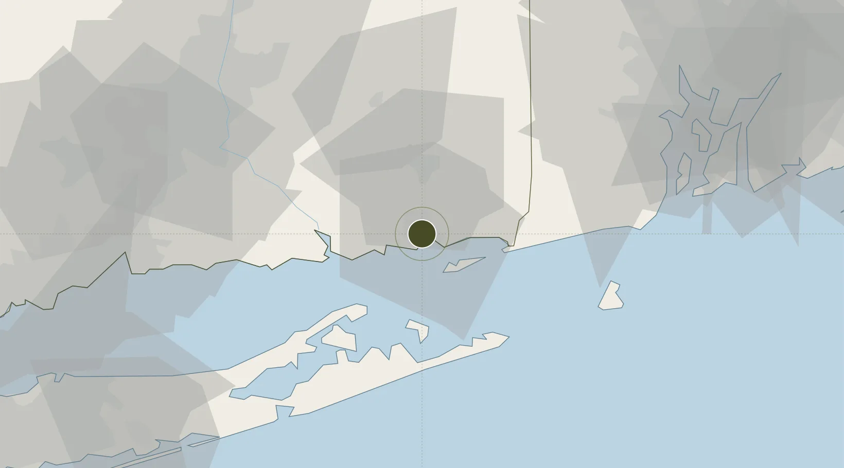
41.3548°, -72.0965°
1.2 km
Nearest port
5.1 km
Nearest airport

Gateway access

Nearest neighbours — logibook spatial index (haversine) over the source coordinates

Zone profile

Zone type
Foreign Trade Zone
Open Zone Map
Region
Connecticut
Open Zone Map
Status
Inactive
Open Zone Map
Management
Public
Open Zone Map
Operator
New London Foreign Trade Zone Commission
Open Zone Map
Legal framework
Foreign-Trade Zones Act
Open Zone Map

Location

Location of ozm-4735
Natural Earth 10m (public domain) · Connecticut · ozm-4735 · 41.35, -72.10GoogleOSMYandex

Nearby Logistics Neighbours

Ports
  1. 1New London1 km
  2. 2Noank10 km
  3. 3Mystic11 km
  4. 4Stonington17 km
  5. 5Norwich18 km
Nearest neighbours — logibook spatial index (haversine) over the source coordinates
Airports
  1. 1Groton New London Airport5 km
  2. 2Westerly State Airport25 km
  3. 3Montauk Airport34 km
  4. 4Block Island State Airport48 km
  5. 5Hartford Brainard Airport63 km
Nearest neighbours — logibook spatial index (haversine) over the source coordinates
Cities
  1. 1Waterford3 km
  2. 2Gales Ferry7 km
  3. 3Niantic8 km
  4. 4East Lyme9 km
  5. 5Mystic12 km
Nearest neighbours — logibook spatial index (haversine) over the source coordinates
Trade Zones
  1. 1FTZ No. 162 New Haven70 km
  2. 2FTZ No. 105 Providence and North Kingstown74 km
  3. 3FTZ No. 071 Windsor Locks78 km
  4. 4FTZ No. 076 Bridgeport94 km
  5. 5FTZ No. 028 New Bedford98 km
Nearest neighbours — logibook spatial index (haversine) over the source coordinates
DatabookThe Record of Consolidated Knowledge
United States beyond logistics?
Browse databook

All Sources

Trade ZonesOpen Zone Map
CC BY
Portsthe NGA World Port Index
Public domain (US gov)
AirportsOurAirports
Public domain
LocationsUN/LOCODE
UN/LOCODE — free
← United States trade zones