Foreign Trade Zone · United States

FTZ No. 076 Bridgeport Active
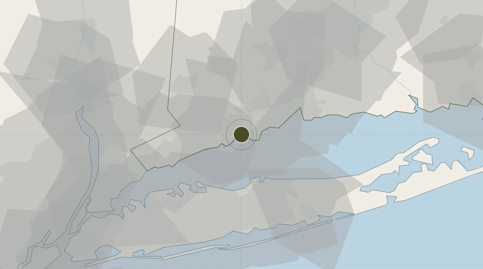
41.1762°, -73.1911°
1.2 km
Nearest port
5.6 km
Nearest airport

Gateway access

Nearest neighbours — logibook spatial index (haversine) over the source coordinates

Zone profile

Zone type
Foreign Trade Zone
Open Zone Map
Region
Connecticut
Open Zone Map
Status
Active
Open Zone Map
Management
Public
Open Zone Map
Operator
Bridgeport Port Authority
Open Zone Map
Legal framework
Foreign-Trade Zones Act
Open Zone Map

Location

Location of ozm-4748
Natural Earth 10m (public domain) · Connecticut · ozm-4748 · 41.18, -73.19GoogleOSMYandex

Nearby Logistics Neighbours

Ports
  1. 1Bridgeport1 km
  2. 2Southport9 km
  3. 3Norwalk21 km
  4. 4New Haven24 km
  5. 5Port Jefferson27 km
Nearest neighbours — logibook spatial index (haversine) over the source coordinates
Airports
  1. 1Igor I Sikorsky Memorial Airport6 km
  2. 2Tweed New Haven Airport27 km
  3. 3Danbury Municipal Airport33 km
  4. 4Long Island MacArthur Airport43 km
  5. 5Westchester County Airport45 km
Nearest neighbours — logibook spatial index (haversine) over the source coordinates
Cities
  1. 1Ansonia21 km
  2. 2Georgetown, Fairfield22 km
  3. 3Riverside23 km
  4. 4Purchase24 km
  5. 5East Setauket28 km
Nearest neighbours — logibook spatial index (haversine) over the source coordinates
Trade Zones
  1. 1FTZ No. 162 New Haven26 km
  2. 2FTZ No. 052 Suffolk County28 km
  3. 3FTZ No. 001 New York City86 km
  4. 4FTZ No. 208 New London94 km
  5. 5FTZ No. 071 Windsor Locks96 km
Nearest neighbours — logibook spatial index (haversine) over the source coordinates
DatabookThe Record of Consolidated Knowledge
United States beyond logistics?
Browse databook

All Sources

Trade ZonesOpen Zone Map
CC BY
Portsthe NGA World Port Index
Public domain (US gov)
AirportsOurAirports
Public domain
LocationsUN/LOCODE
UN/LOCODE — free
← United States trade zones