Channel & Berth Profile
Pilotage, Tugs & Services
Pilotage compulsoryYES
Tug assistanceYES
Potable waterYES
Diesel bunkersYES
MedicalYES
Facilities & Capabilities
Container—
Ro-Ro—
Liquid bulk—
Dry bulk—
Oil terminal—
Break bulk—
Dry dock—
RepairsNO
BunkeringYES
Rail linkYES
Dangerous cargo—
ISPS security—
Harbour Specifications
Harbour size
Very Small
Harbour type
River (Natural)
Shelter
Good
Water body
North Atlantic Ocean
Tidal range
0.9 m
Pilotage
Yes
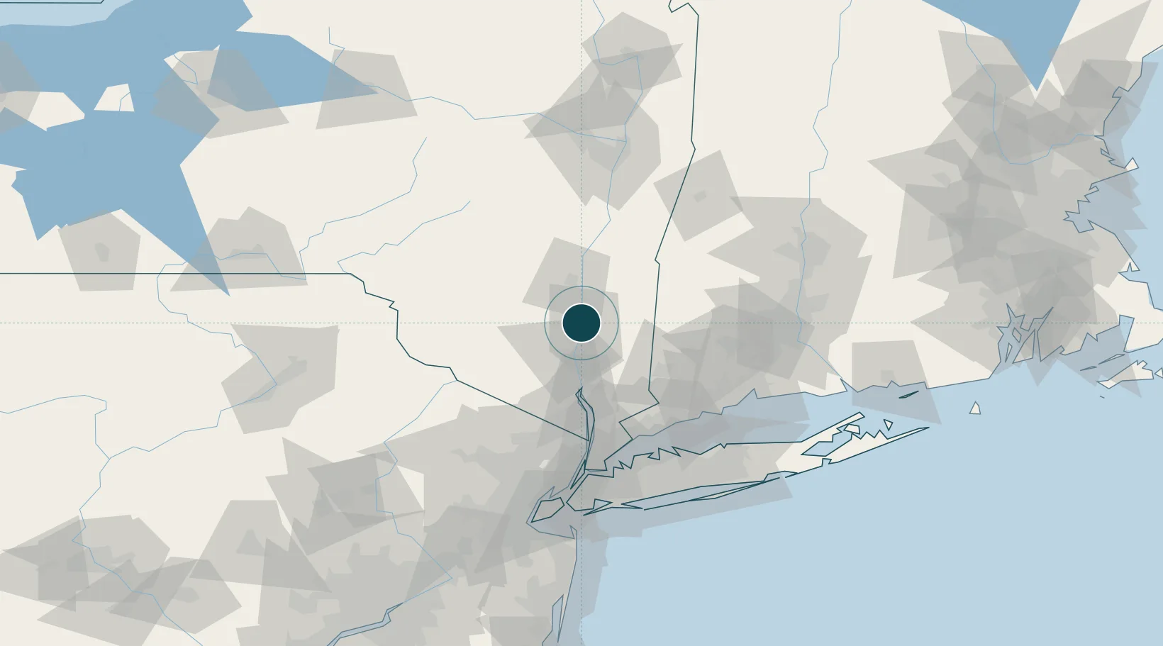
Location
Nearby Logistics Neighbours
Airports
Trade Zones
- 1FTZ No. 076 Bridgeport86 km
- 2FTZ No. 037 Orange County88 km
- 3FTZ No. 162 New Haven96 km
- 4FTZ No. 052 Suffolk County107 km
- 5FTZ No. 001 New York City110 km
DatabookThe Record of Consolidated Knowledge
United States beyond logistics?