Channel & Berth Profile
Pilotage, Tugs & Services
Pilotage compulsoryYES
Tug assistanceNO
Salvage tugsNO
Potable waterYES
Diesel bunkersYES
Facilities & Capabilities
Container—
Ro-Ro—
Liquid bulk—
Dry bulk—
Oil terminal—
Break bulk—
Dry dock—
RepairsNO
BunkeringYES
Rail link—
Dangerous cargo—
ISPS security—
Harbour Specifications
Harbour size
Very Small
Harbour type
River (Natural)
Shelter
Excellent
Water body
North Atlantic Ocean
Tidal range
0.9 m
Overhead limit
No
Pilotage
Yes
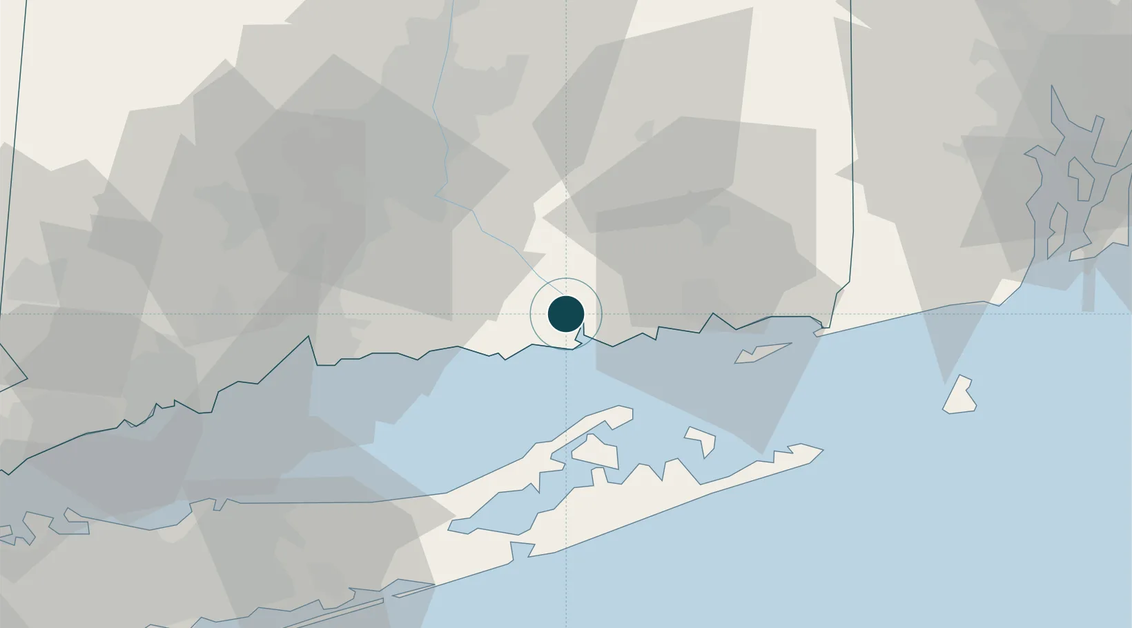
Location
Nearby Logistics Neighbours
Ports
- 1New London25 km
- 2Greenport28 km
- 3Norwich31 km
- 4Noank34 km
- 5Mystic35 km
Airports
- 1Groton New London Airport28 km
- 2Tweed New Haven Airport43 km
- 3Hartford Brainard Airport48 km
- 4Westerly State Airport48 km
- 5Montauk Airport49 km
Trade Zones
- 1FTZ No. 208 New London24 km
- 2FTZ No. 162 New Haven46 km
- 3FTZ No. 071 Windsor Locks68 km
- 4FTZ No. 076 Bridgeport70 km
- 5FTZ No. 052 Suffolk County83 km
DatabookThe Record of Consolidated Knowledge
United States beyond logistics?