Transport Functions
Road
Multimodal
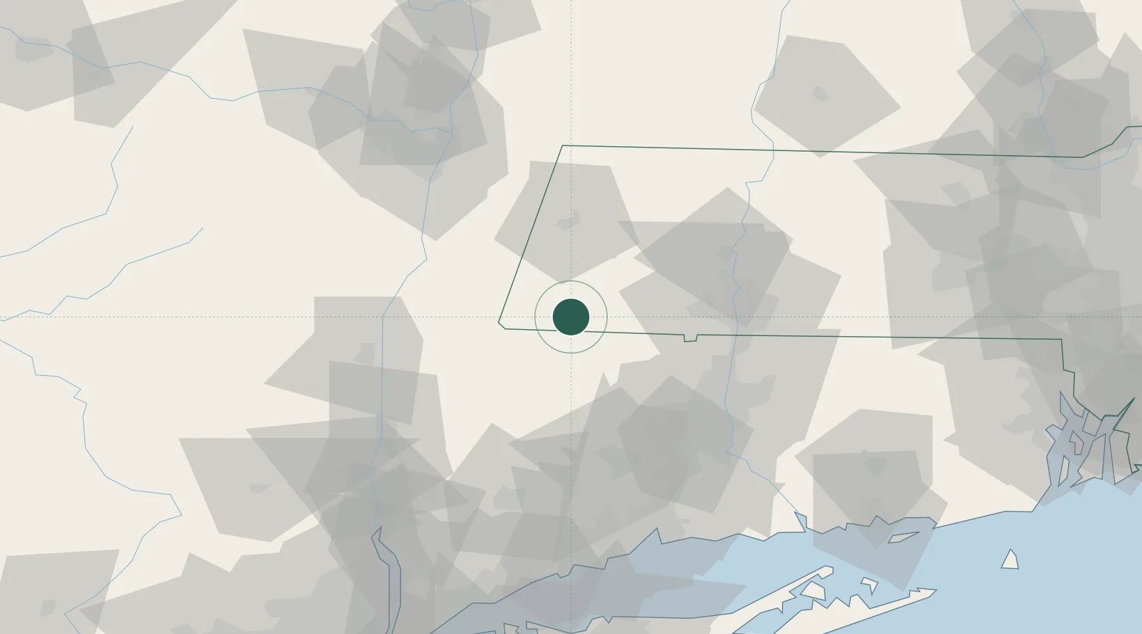
Hub Profile
Place type
Populated place
Region
Massachusetts
Time zone
America/New_York
Elevation
371 m
Location
Nearby Logistics Neighbours
Cities
- 1Sheffield10 km
- 2Indian Orchard11 km
- 3Norfolk12 km
- 4Canaan12 km
- 5Salisbury20 km
Ports
- 1Catskill53 km
- 2Kingston63 km
- 3Poughkeepsie74 km
- 4Albany74 km
- 5Rensselaer74 km
Airports
Trade Zones
- 1FTZ No. 201 Holyoke45 km
- 2FTZ No. 071 Windsor Locks53 km
- 3FTZ No. 121 Albany84 km
- 4FTZ No. 162 New Haven92 km
- 5FTZ No. 268 Brattleboro99 km
DatabookThe Record of Consolidated Knowledge
United States beyond logistics?