Channel & Berth Profile
Pilotage, Tugs & Services
Pilotage compulsoryYES
Tug assistanceYES
Potable waterYES
Diesel bunkersYES
MedicalYES
Facilities & Capabilities
Container—
Ro-Ro—
Liquid bulk—
Dry bulk—
Oil terminal—
Break bulk—
Dry dock—
RepairsNO
BunkeringYES
Rail linkYES
Dangerous cargo—
ISPS security—
Harbour Specifications
Harbour size
Small
Harbour type
River (Natural)
Shelter
Good
Water body
North Atlantic Ocean
Tidal range
1.2 m
Overhead limit
Yes
Pilotage
Yes
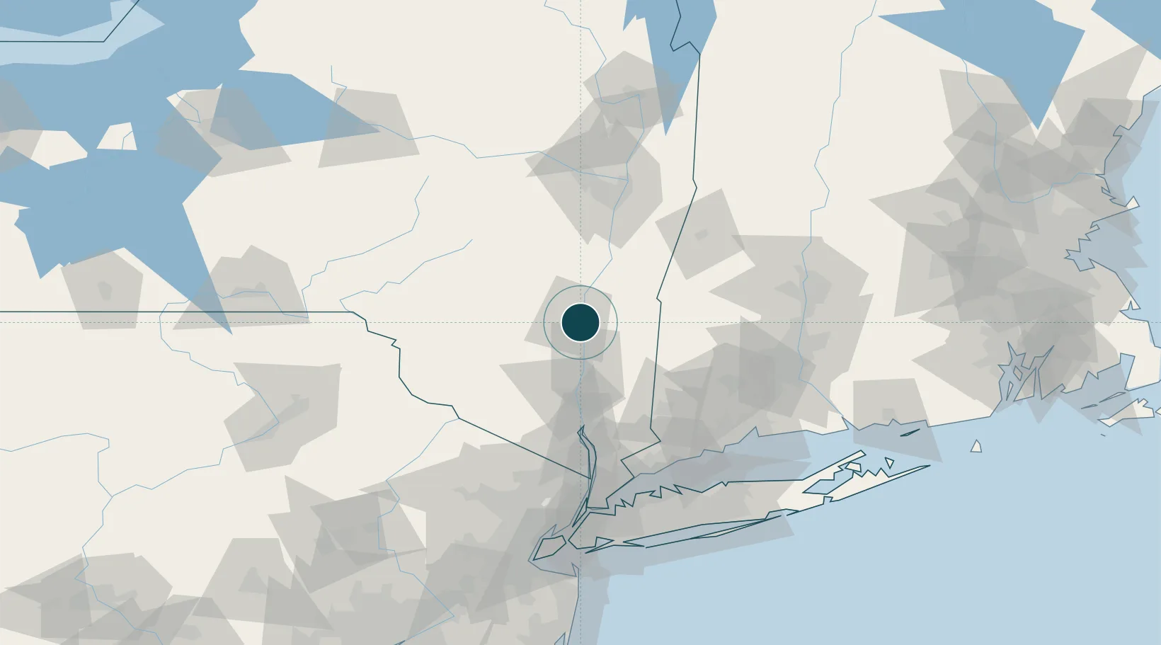
Location
Nearby Logistics Neighbours
Ports
- 1Poughkeepsie26 km
- 2Catskill33 km
- 3Newburgh48 km
- 4Albany82 km
- 5Rensselaer82 km
Cities
- 1Port Ewen4 km
- 2Lake Katrine6 km
- 3Rhinebeck6 km
- 4Lake Katerine6 km
- 5Hurley8 km
Airports
Trade Zones
- 1FTZ No. 121 Albany88 km
- 2FTZ No. 037 Orange County100 km
- 3FTZ No. 076 Bridgeport106 km
- 4FTZ No. 201 Holyoke109 km
- 5FTZ No. 071 Windsor Locks110 km
DatabookThe Record of Consolidated Knowledge
United States beyond logistics?