Foreign Trade Zone · United States

FTZ No. 071 Windsor Locks Active
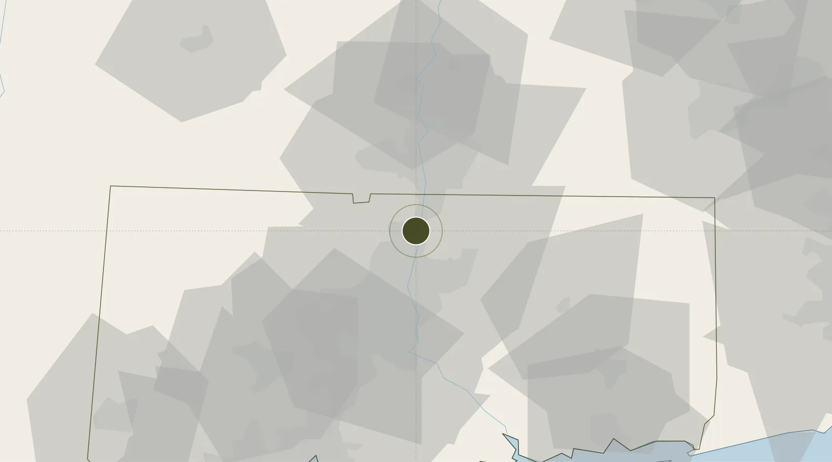
41.9297°, -72.6320°
64.7 km
Nearest port
4.7 km
Nearest airport

Gateway access

Nearest neighbours — logibook spatial index (haversine) over the source coordinates

Zone profile

Zone type
Foreign Trade Zone
Open Zone Map
Region
Connecticut
Open Zone Map
Status
Active
Open Zone Map
Management
Public
Open Zone Map
Operator
Town of Windsor Locks Economic and Industrial Development Commission
Open Zone Map
Legal framework
Foreign-Trade Zones Act
Open Zone Map

Location

Location of ozm-4808
Natural Earth 10m (public domain) · Connecticut · ozm-4808 · 41.93, -72.63GoogleOSMYandex

Nearby Logistics Neighbours

Ports
  1. 1Norwich65 km
  2. 2Essex68 km
  3. 3New London79 km
  4. 4New Haven81 km
  5. 5Mystic85 km
Nearest neighbours — logibook spatial index (haversine) over the source coordinates
Airports
  1. 1Bradley International Airport5 km
  2. 2Hartford Brainard Airport22 km
  3. 3Westfield-Barnes Regional Airport26 km
  4. 4Westover Metropolitan Airport / Westover Air Reserve Base31 km
  5. 5Worcester Regional Airport73 km
Nearest neighbours — logibook spatial index (haversine) over the source coordinates
Cities
  1. 1East Windsor7 km
  2. 2Broad Brook9 km
  3. 3Longmeadow14 km
  4. 4Ellington14 km
  5. 5Feeding Hills16 km
Nearest neighbours — logibook spatial index (haversine) over the source coordinates
Trade Zones
  1. 1FTZ No. 201 Holyoke33 km
  2. 2FTZ No. 162 New Haven74 km
  3. 3FTZ No. 208 New London78 km
  4. 4FTZ No. 076 Bridgeport96 km
  5. 5FTZ No. 105 Providence and North Kingstown98 km
Nearest neighbours — logibook spatial index (haversine) over the source coordinates
DatabookThe Record of Consolidated Knowledge
United States beyond logistics?
Browse databook

All Sources

Trade ZonesOpen Zone Map
CC BY
Portsthe NGA World Port Index
Public domain (US gov)
AirportsOurAirports
Public domain
LocationsUN/LOCODE
UN/LOCODE — free
← United States trade zones