Medium airport · United States
Danbury Municipal AirportKDXR
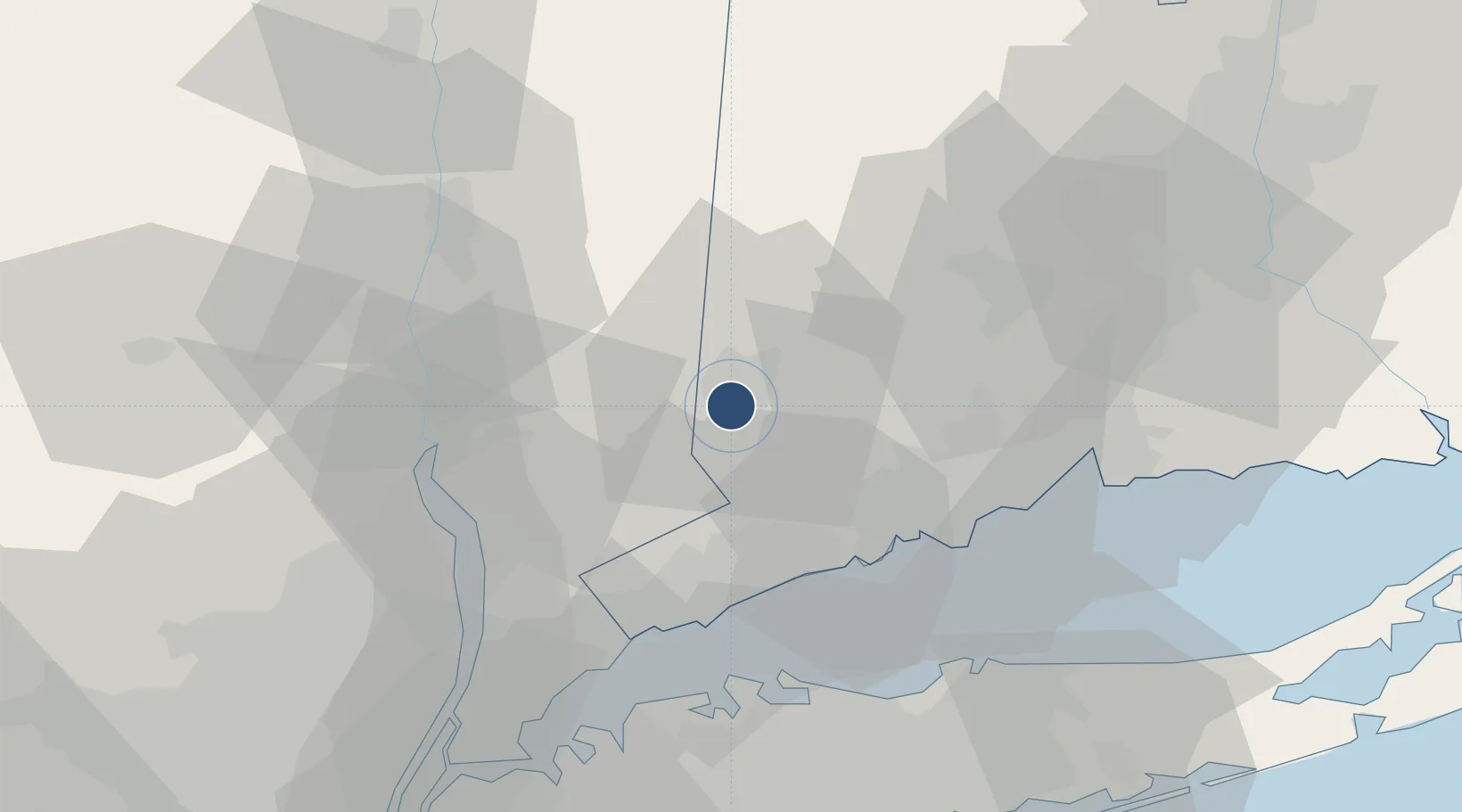
41.3717°, -73.4822°
4,421 ft
Longest runway
2
Runways
458 ft
Elevation
Runway & Layout

Radio Frequencies
ATIS
127.75 MHz
ASOS
127.75 MHz
TWR
119.4 MHz
GND
121.6 MHz
CLD
128.6 MHz
CLNC DEL
CTAF
119.4 MHz
A/D
126.4 MHz
NEW YORK APP/DEP
UNIC
122.95 MHz
UNICOM
Runways · 2
| Runway | Dimensions | Surface | True heading | Lit |
|---|---|---|---|---|
| 08/26 | 4,421 × 150ft | Asphalt | 070° | ✓ |
| 17/35 | 3,135 × 100ft | Asphalt | 153° | — |
Airport Specifications
IATA code
DXR
ICAO code
KDXR
Airport class
Medium airport
Scheduled service
No
Runway surface
Asphalt
Served city
Danbury
Location
Nearby Logistics Neighbours
Airports
Cities
- 1North Salem8 km
- 2Ridgefield10 km
- 3Brewster11 km
- 4Georgetown, Fairfield14 km
- 5Pound Ridge20 km
Ports
- 1Norwalk31 km
- 2Southport31 km
- 3Bridgeport34 km
- 4Stamford38 km
- 5Greenwich41 km
Trade Zones
- 1FTZ No. 076 Bridgeport33 km
- 2FTZ No. 162 New Haven47 km
- 3FTZ No. 052 Suffolk County56 km
- 4FTZ No. 001 New York City86 km
- 5FTZ No. 071 Windsor Locks94 km
DatabookThe Record of Consolidated Knowledge
United States beyond logistics?