Foreign Trade Zone · United States

FTZ No. 201 Holyoke Active
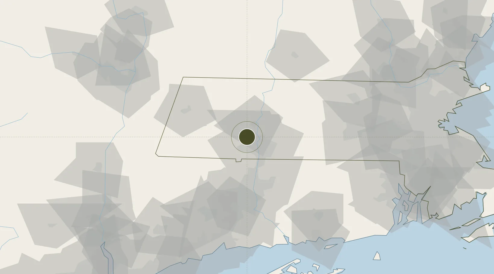
42.2241°, -72.7105°
93.8 km
Nearest port
7.4 km
Nearest airport

Gateway access

Nearest neighbours — logibook spatial index (haversine) over the source coordinates

Zone profile

Zone type
Foreign Trade Zone
Open Zone Map
Region
Massachusetts
Open Zone Map
Status
Active
Open Zone Map
Management
Public
Open Zone Map
Operator
City of Holyoke
Open Zone Map
Legal framework
Foreign-Trade Zones Act
Open Zone Map

Location

Location of ozm-4819
Natural Earth 10m (public domain) · Massachusetts · ozm-4819 · 42.22, -72.71GoogleOSMYandex

Nearby Logistics Neighbours

Ports
  1. 1Catskill94 km
  2. 2Norwich94 km
  3. 3Albany98 km
  4. 4Rensselaer98 km
  5. 5Troy99 km
Nearest neighbours — logibook spatial index (haversine) over the source coordinates
Airports
  1. 1Westfield-Barnes Regional Airport7 km
  2. 2Westover Metropolitan Airport / Westover Air Reserve Base15 km
  3. 3Bradley International Airport32 km
  4. 4Hartford Brainard Airport54 km
  5. 5Worcester Regional Airport69 km
Nearest neighbours — logibook spatial index (haversine) over the source coordinates
Cities
  1. 1Russell12 km
  2. 2Northampton14 km
  3. 3Feeding Hills18 km
  4. 4Longmeadow22 km
  5. 5Whately24 km
Nearest neighbours — logibook spatial index (haversine) over the source coordinates
Trade Zones
  1. 1FTZ No. 071 Windsor Locks33 km
  2. 2FTZ No. 268 Brattleboro71 km
  3. 3FTZ No. 162 New Haven104 km
  4. 4FTZ No. 121 Albany106 km
  5. 5FTZ No. 208 New London109 km
Nearest neighbours — logibook spatial index (haversine) over the source coordinates
DatabookThe Record of Consolidated Knowledge
United States beyond logistics?
Browse databook

All Sources

Trade ZonesOpen Zone Map
CC BY
Portsthe NGA World Port Index
Public domain (US gov)
AirportsOurAirports
Public domain
LocationsUN/LOCODE
UN/LOCODE — free
← United States trade zones