Transport Functions
Port
Road
Hub Profile
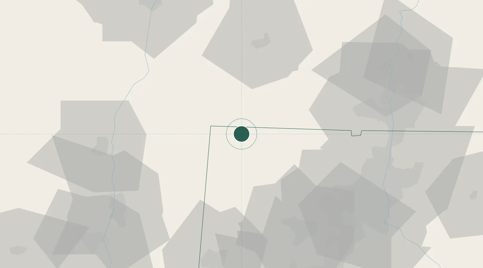
Place type
Populated place
Region
Connecticut
Population
1,212
Time zone
America/New_York
Elevation
205 m
Location
Nearby Logistics Neighbours
Cities
- 1Salisbury8 km
- 2Norfolk11 km
- 3Sheffield11 km
- 4Southfield12 km
- 5Indian Orchard17 km
Ports
- 1Catskill48 km
- 2Kingston53 km
- 3Poughkeepsie62 km
- 4Albany78 km
- 5Rensselaer78 km
Airports
Trade Zones
- 1FTZ No. 201 Holyoke56 km
- 2FTZ No. 071 Windsor Locks59 km
- 3FTZ No. 162 New Haven86 km
- 4FTZ No. 121 Albany87 km
- 5FTZ No. 076 Bridgeport94 km
DatabookThe Record of Consolidated Knowledge
United States beyond logistics?