Transport Functions
Road
Multimodal
Hub Profile
Place type
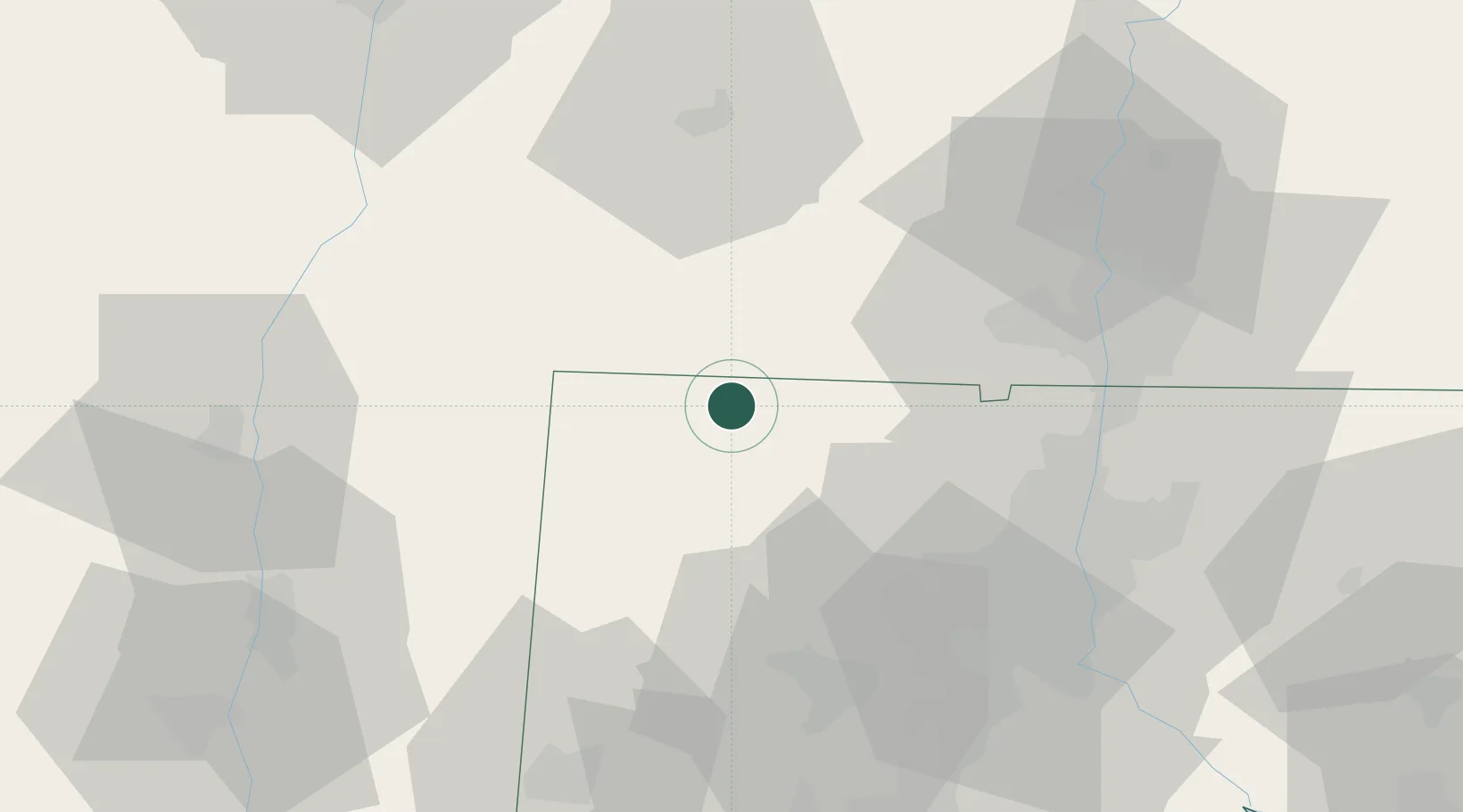
Populated place
Region
Connecticut
Population
553
Time zone
America/New_York
Elevation
351 m
Logistics facilities
1
Location
Nearby Logistics Neighbours
Cities
- 1Canaan11 km
- 2Southfield12 km
- 3Winsted16 km
- 4Goshen17 km
- 5Sheffield18 km
Ports
- 1Catskill59 km
- 2Kingston64 km
- 3Poughkeepsie71 km
- 4Albany85 km
- 5Rensselaer85 km
Airports
Trade Zones
- 1FTZ No. 201 Holyoke47 km
- 2FTZ No. 071 Windsor Locks48 km
- 3FTZ No. 162 New Haven80 km
- 4FTZ No. 076 Bridgeport92 km
- 5FTZ No. 121 Albany94 km
DatabookThe Record of Consolidated Knowledge
United States beyond logistics?