UN/LOCODE hub · United States
USLFY
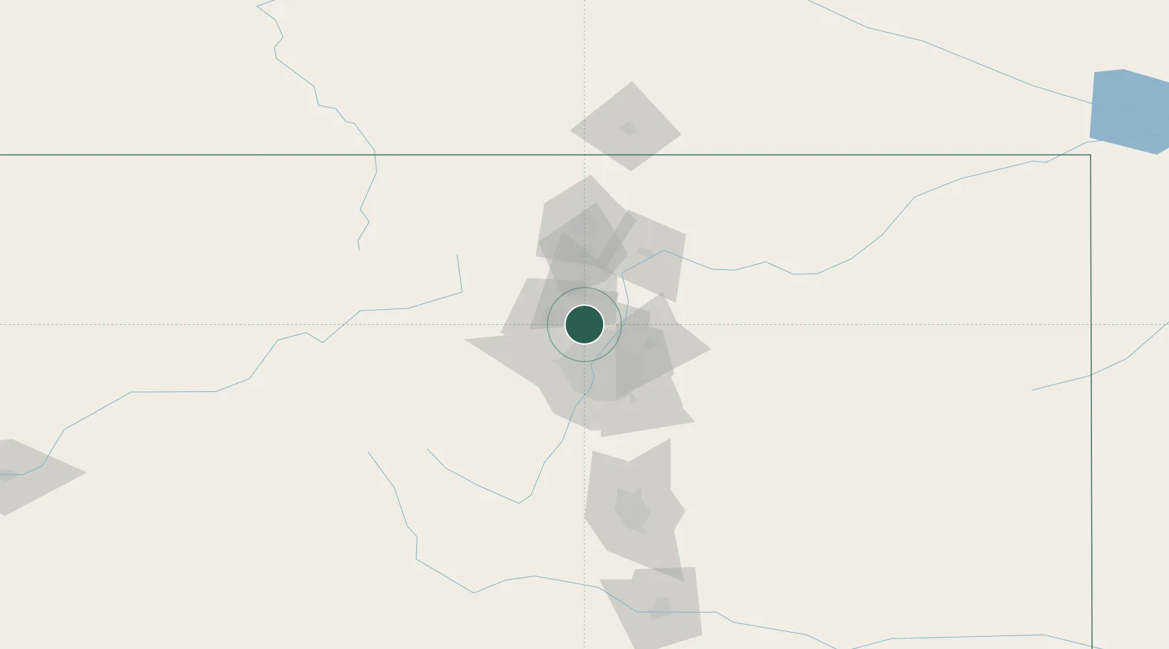
Lafayette
39.9833°, -105.0833°
27,729
Population
3
Transport functions
Transport Functions
Rail
Road
Multimodal
Hub Profile
Place type
Populated place
Region
Colorado
Population
27,729
Time zone
America/Denver
Elevation
1,588 m
Location
Nearby Logistics Neighbours
Ports
- 1Duluth1290 km
- 2Superior1290 km
- 3Newport Beach1341 km
- 4San Diego1350 km
- 5Rosarito1369 km
Airports
Trade Zones
- 1FTZ No. 298 Jefferson County28 km
- 2FTZ No. 123 Denver28 km
- 3FTZ No. 112 Colorado Springs130 km
- 4FTZ No. 293 Limon144 km
- 5FTZ No. 110 Albuquerque566 km
DatabookThe Record of Consolidated Knowledge
United States beyond logistics?