Transport Functions
Road
Multimodal
Hub Profile
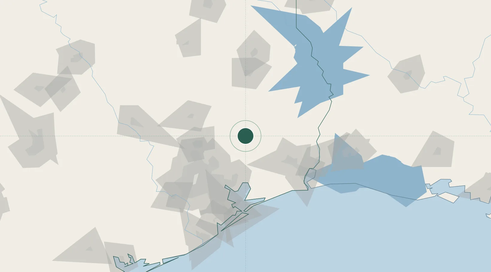
Place type
Populated place
Region
Texas
Time zone
America/Chicago
Elevation
37 m
Location
Nearby Logistics Neighbours
Ports
- 1Beaumont77 km
- 2Baytown83 km
- 3Pasadena92 km
- 4Houston92 km
- 5Port Neches93 km
Airports
Trade Zones
- 1FTZ No. 171 Liberty County42 km
- 2FTZ No. 115 Beaumont68 km
- 3FTZ No. 084 Harris County89 km
- 4FTZ No. 117 Orange93 km
- 5FTZ No. 116 Port Arthur94 km
DatabookThe Record of Consolidated Knowledge
United States beyond logistics?