UN/LOCODE hub · United States
USHPE
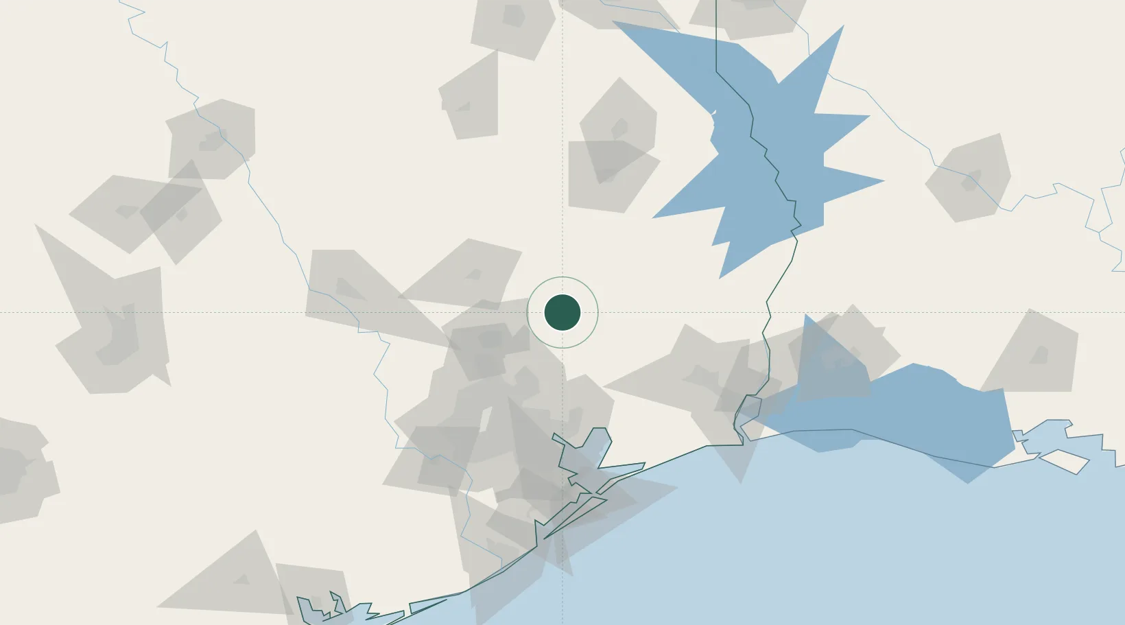
Shepherd
30.5000°, -95.0000°
2,418
Population
3
Transport functions
Transport Functions
Rail
Road
Multimodal
Hub Profile
Place type
Populated place
Region
Texas
Population
2,418
Time zone
America/Chicago
Elevation
44 m
Location
Nearby Logistics Neighbours
Airports
Trade Zones
- 1FTZ No. 171 Liberty County36 km
- 2FTZ No. 084 Harris County83 km
- 3FTZ No. 115 Beaumont90 km
- 4FTZ No. 297 Lufkin94 km
- 5FTZ No. 116 Port Arthur114 km
DatabookThe Record of Consolidated Knowledge
United States beyond logistics?