Seaport · United States
BeaumontUSBPT
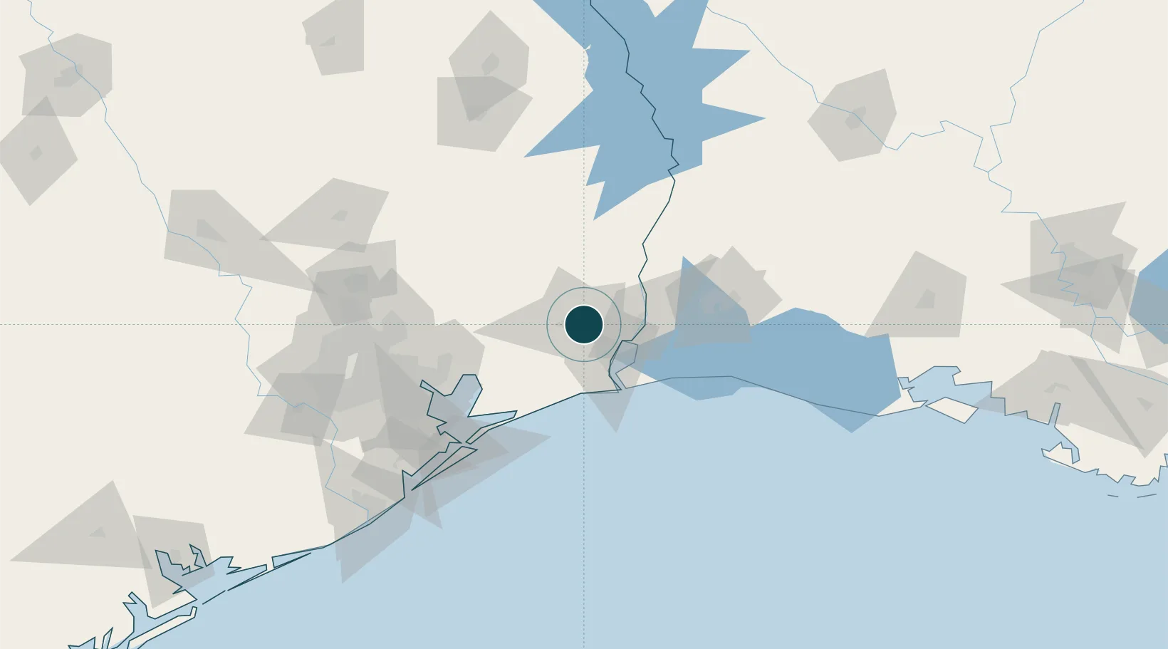
30.0833°, -94.0833°
11.0 m
Channel depth
14.2
Port liner connectivity
Channel & Berth Profile
Pilotage, Tugs & Services
Pilotage compulsoryYES
Pilotage availableYES
Pilotage advisableYES
Tug assistanceYES
Shore powerYES
Potable waterYES
Diesel bunkersYES
MedicalYES
Garbage disposalYES
Facilities & Capabilities
Container—
Ro-Ro—
Liquid bulk—
Dry bulk—
Oil terminal—
Break bulk—
Dry dockNO
RepairsNO
BunkeringYES
Rail linkYES
Dangerous cargo—
ISPS security—
Harbour Specifications
Harbour size
Medium
Harbour type
River (Natural)
Shelter
Good
Water body
Gulf of Mexico; North Atlantic Ocean
Overhead limit
Yes
Pilotage
Yes
Liner Connectivity
14.2
PLSCI
Port Liner Shipping Connectivity Index for Beaumont, as published by UNCTAD for the latest available quarter. Higher values indicate stronger scheduled liner-shipping integration.
Shown relative to the highest per-port PLSCI in the dataset (1,657.9).
Location
Nearby Logistics Neighbours
Ports
- 1Port Neches16 km
- 2Port Arthur30 km
- 3Orange34 km
- 4Sabine Pass43 km
- 5Sabine46 km
Airports
Trade Zones
- 1FTZ No. 115 Beaumont11 km
- 2FTZ No. 117 Orange21 km
- 3FTZ No. 116 Port Arthur28 km
- 4FTZ No. 291 Cameron Parish61 km
- 5FTZ No. 087 Lake Charles70 km
DatabookThe Record of Consolidated Knowledge
United States beyond logistics?