UN/LOCODE hub · United States
USUSG
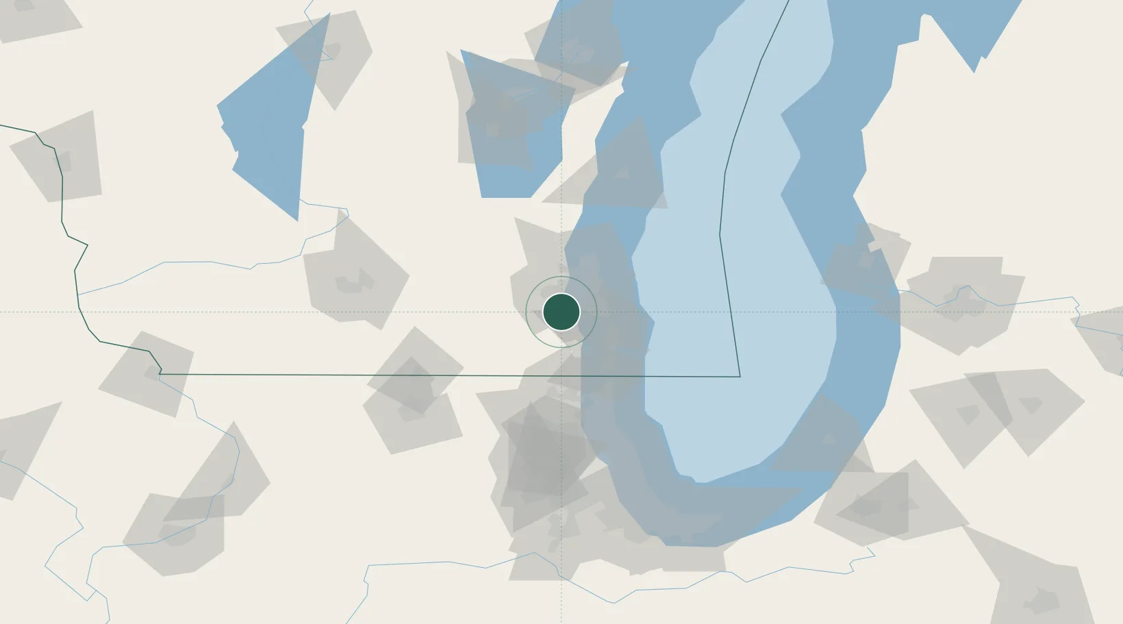
Muskego
42.9000°, -88.1333°
24,755
Population
2
Transport functions
Transport Functions
Road
Multimodal
Hub Profile
Place type
Populated place
Region
Wisconsin
Population
24,755
Time zone
America/Chicago
Elevation
244 m
Location
Nearby Logistics Neighbours
Cities
- 1Raymond15 km
- 2Mukwonago17 km
- 3West Allis17 km
- 4Milwaukee18 km
- 5Caledonia21 km
Ports
- 1Milwaukee25 km
- 2Racine34 km
- 3Kenosha44 km
- 4Port Washington58 km
- 5Waukegan65 km
Airports
Trade Zones
- 1FTZ No. 041 Milwaukee18 km
- 2FTZ No. 292 Lake County67 km
- 3FTZ No. 176 Rockford114 km
- 4FTZ No. 022 Chicago121 km
- 5FTZ No. 019 Omaha121 km
DatabookThe Record of Consolidated Knowledge
United States beyond logistics?