UN/LOCODE hub · United States
USVWL
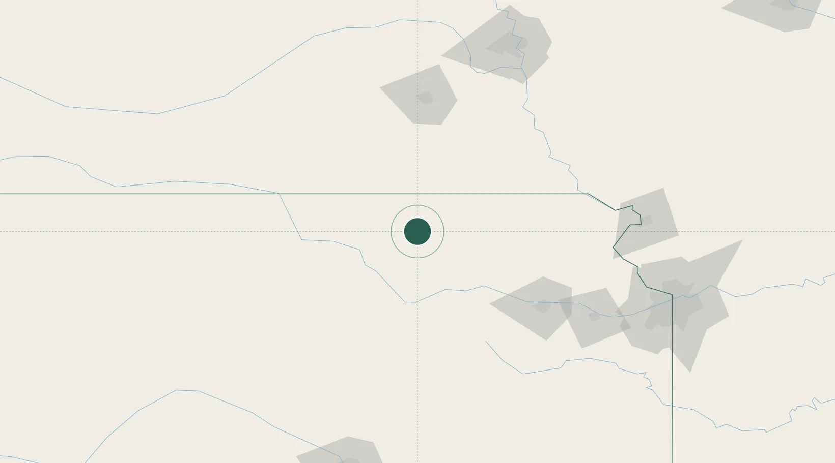
Waterville
39.6833°, -96.7500°
651
Population
2
Transport functions
Transport Functions
Rail
Road
Hub Profile
Place type
Populated place
Region
Kansas
Population
651
Time zone
America/Chicago
Elevation
359 m
Location
Nearby Logistics Neighbours
Cities
- 1Herkimer23 km
- 2Washington30 km
- 3Riley45 km
- 4Centralia54 km
- 5Holmesville58 km
Ports
- 1Port Of Memphis775 km
- 2Kaukauna867 km
- 3Superior871 km
- 4Duluth873 km
- 5Green Bay898 km
Airports
- 1Manhattan Regional Airport61 km
- 2Marshall Army Air Field70 km
- 3Philip Billard Municipal Airport119 km
- 4Topeka Regional Airport124 km
- 5Salina Municipal Airport126 km
Trade Zones
- 1FTZ No. 133 Quad-Cities, Iowa Illinois64 km
- 2FTZ No. 059 Lincoln124 km
- 3FTZ No. 017 Kansas City176 km
- 4FTZ No. 015 Kansas City185 km
- 5FTZ No. 161 Sedgwick County238 km
DatabookThe Record of Consolidated Knowledge
United States beyond logistics?