UN/LOCODE hub · United States
USWS9
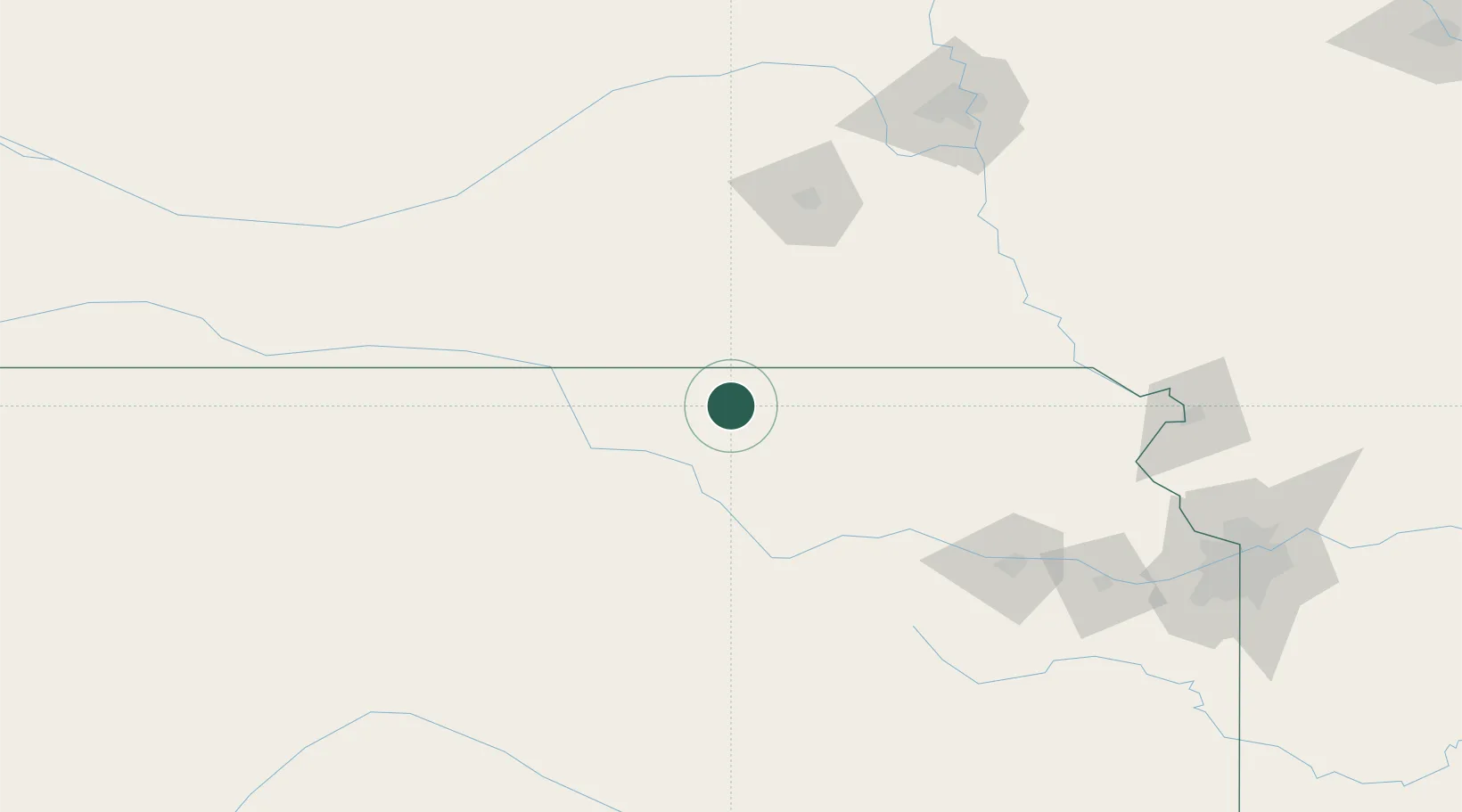
Washington
39.8167°, -97.0500°
1,085
Population
1
Transport functions
Transport Functions
Multimodal
Hub Profile
Place type
Provincial seat
Region
Kansas
Population
1,085
Time zone
America/Chicago
Elevation
404 m
Location
Nearby Logistics Neighbours
Cities
- 1Waterville30 km
- 2Herkimer31 km
- 3Holmesville55 km
- 4Hebron61 km
- 5Riley63 km
Ports
- 1Port Of Memphis805 km
- 2Superior868 km
- 3Duluth870 km
- 4Kaukauna878 km
- 5Ashland905 km
Airports
- 1Manhattan Regional Airport82 km
- 2Marshall Army Air Field88 km
- 3Lincoln Airport117 km
- 4Salina Municipal Airport125 km
- 5Philip Billard Municipal Airport148 km
Trade Zones
- 1FTZ No. 133 Quad-Cities, Iowa Illinois72 km
- 2FTZ No. 059 Lincoln111 km
- 3FTZ No. 017 Kansas City205 km
- 4FTZ No. 015 Kansas City215 km
- 5FTZ No. 161 Sedgwick County244 km
DatabookThe Record of Consolidated Knowledge
United States beyond logistics?