Medium airport · United States
Salina Municipal AirportKSLN
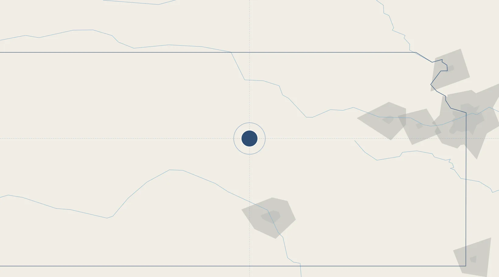
38.7910°, -97.6522°
12,301 ft
Longest runway
4
Runways
1,288 ft
Elevation
Runway & Layout

Radio Frequencies
ATIS
120.15 MHz
TWR
119.3 MHz
GND
121.9 MHz
CTAF
119.3 MHz
CNTR
134.9 MHz
KANSAS CITY CNTR
OPS
49.95 MHz
ARNG OPS
RDO
122.4 MHz
WICHITA RDO
UNIC
122.95 MHz
UNICOM
Navaids
SL NDB Flory 344 kHz
SLN VORTAC Salina 117.10 MHz
Runways · 4
| Runway | Dimensions | Surface | True heading | Lit |
|---|---|---|---|---|
| 17/35 | 12,301 × 150ft | Asphalt | 180° | ✓ |
| 12/30 | 6,510 × 100ft | Asphalt | 132° | ✓ |
| 18/36 | 4,301 × 75ft | Asphalt | 180° | — |
| 04/22 | 3,648 × 75ft | Asphalt | 049° | — |
Airport Specifications
IATA code
SLN
ICAO code
KSLN
Airport class
Medium airport
Scheduled service
Yes
Runway surface
Asphalt
Served city
Salina
Location
Nearby Logistics Neighbours
Airports
Cities
- 1Minneapolis36 km
- 2Ellsworth50 km
- 3Chapman58 km
- 4Moundridge67 km
- 5Lucas82 km
Ports
- 1Port Of Memphis783 km
- 2Kaukauna991 km
- 3Superior993 km
- 4Duluth995 km
- 5Green Bay1022 km
Trade Zones
- 1FTZ No. 161 Sedgwick County122 km
- 2FTZ No. 133 Quad-Cities, Iowa Illinois189 km
- 3FTZ No. 059 Lincoln234 km
- 4FTZ No. 015 Kansas City239 km
- 5FTZ No. 017 Kansas City244 km
DatabookThe Record of Consolidated Knowledge
United States beyond logistics?