Foreign Trade Zone · United States

FTZ No. 297 Lufkin Active
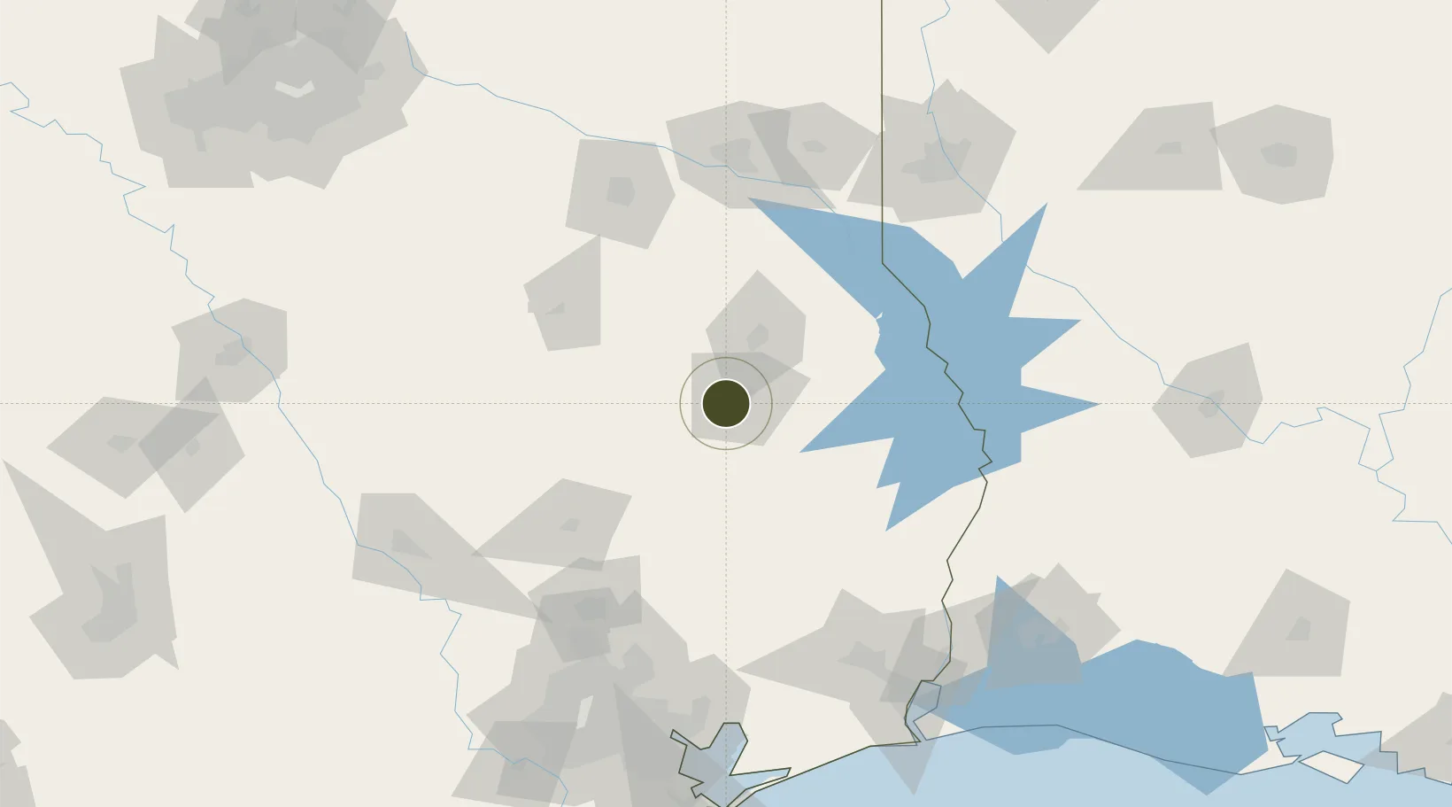
31.3222°, -94.7967°
153.7 km
Nearest port
10.8 km
Nearest airport

Gateway access

Nearest neighbours — logibook spatial index (haversine) over the source coordinates

Zone profile

Zone type
Foreign Trade Zone
Open Zone Map
Region
Texas
Open Zone Map
Status
Active
Open Zone Map
Management
Public
Open Zone Map
Operator
City of Lufkin
Open Zone Map
Legal framework
Foreign-Trade Zones Act
Open Zone Map

Location

Location of ozm-4828
Natural Earth 10m (public domain) · Texas · ozm-4828 · 31.32, -94.80GoogleOSMYandex

Nearby Logistics Neighbours

Ports
  1. 1Beaumont154 km
  2. 2Port Neches168 km
  3. 3Orange171 km
  4. 4Baytown178 km
  5. 5Houston181 km
Nearest neighbours — logibook spatial index (haversine) over the source coordinates
Airports
  1. 1Angelina County Airport11 km
  2. 2Huntsville Regional Airport99 km
  3. 3East Texas Regional Airport118 km
  4. 4Conroe-North Houston Regional Airport123 km
  5. 5Tyler Pounds Regional Airport128 km
Nearest neighbours — logibook spatial index (haversine) over the source coordinates
Cities
  1. 1Cushing53 km
  2. 2Lovelady65 km
  3. 3San Augustine70 km
  4. 4Gallatin70 km
  5. 5Timpson75 km
Nearest neighbours — logibook spatial index (haversine) over the source coordinates
Trade Zones
  1. 1FTZ No. 171 Liberty County129 km
  2. 2FTZ No. 234 Gregg County133 km
  3. 3FTZ No. 269 Athens142 km
  4. 4FTZ No. 115 Beaumont149 km
  5. 5FTZ No. 145 Shreveport150 km
Nearest neighbours — logibook spatial index (haversine) over the source coordinates
DatabookThe Record of Consolidated Knowledge
United States beyond logistics?
Browse databook

All Sources

Trade ZonesOpen Zone Map
CC BY
Portsthe NGA World Port Index
Public domain (US gov)
AirportsOurAirports
Public domain
LocationsUN/LOCODE
UN/LOCODE — free
← United States trade zones