UN/LOCODE hub · United States
USAGI
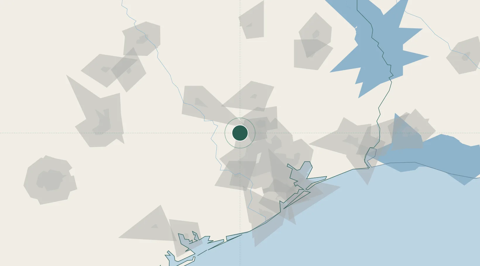
Magnolia
30.2000°, -95.7500°
1,828
Population
2
Transport functions
Transport Functions
Rail
Road
Hub Profile
Place type
Populated place
Region
Texas
Population
1,828
Time zone
America/Chicago
Elevation
82 m
Location
Nearby Logistics Neighbours
Cities
- 1Oklahoma17 km
- 2Montgomery21 km
- 3Hemstead35 km
- 4Navasota38 km
- 5North Houston40 km
Ports
- 1Deer Park64 km
- 2Houston67 km
- 3Pasadena74 km
- 4Baytown88 km
- 5Texas City121 km
Airports
Trade Zones
- 1FTZ No. 084 Harris County62 km
- 2FTZ No. 171 Liberty County64 km
- 3FTZ No. 199 Texas City120 km
- 4FTZ No. 036 Galveston135 km
- 5FTZ No. 149 Freeport143 km
DatabookThe Record of Consolidated Knowledge
United States beyond logistics?