UN/LOCODE hub · United States
USMG6
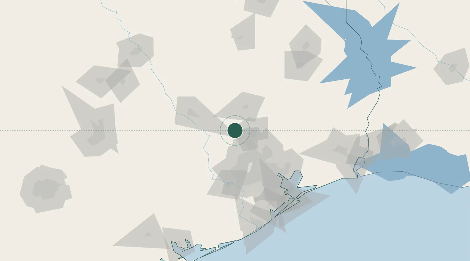
Montgomery
30.3833°, -95.7000°
806
Population
2
Transport functions
Transport Functions
Road
Multimodal
Hub Profile
Place type
Populated place
Region
Texas
Population
806
Time zone
America/Chicago
Elevation
90 m
Location
Nearby Logistics Neighbours
Ports
- 1Deer Park79 km
- 2Houston81 km
- 3Pasadena88 km
- 4Baytown98 km
- 5Texas City134 km
Airports
Trade Zones
- 1FTZ No. 171 Liberty County63 km
- 2FTZ No. 084 Harris County75 km
- 3FTZ No. 199 Texas City133 km
- 4FTZ No. 297 Lufkin135 km
- 5FTZ No. 036 Galveston148 km
DatabookThe Record of Consolidated Knowledge
United States beyond logistics?