UN/LOCODE hub · United States
USGUN
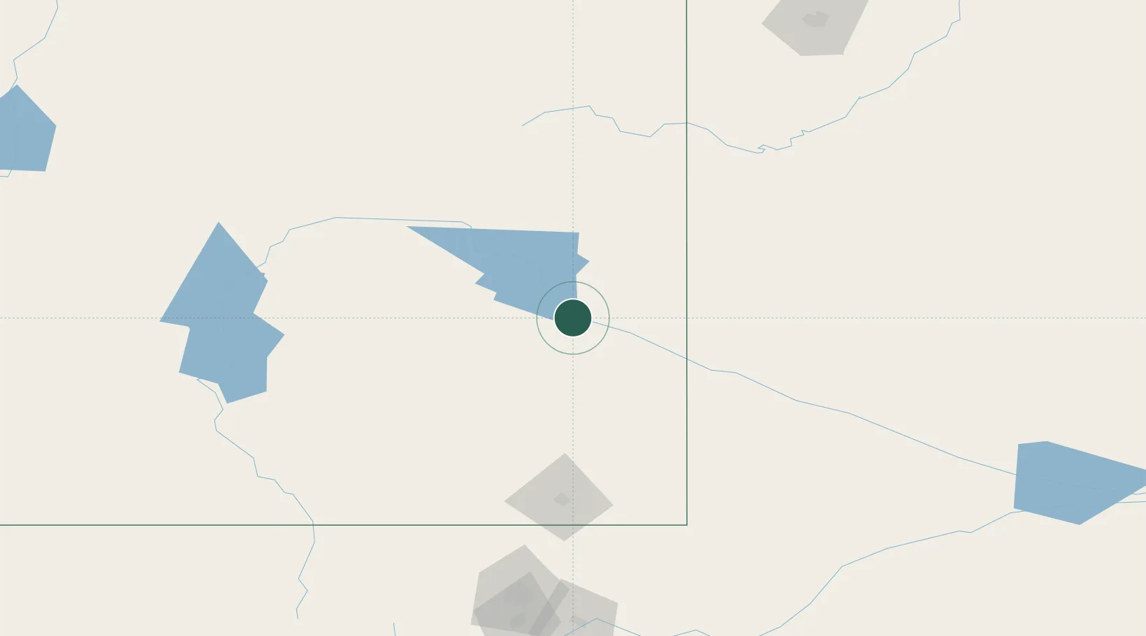
Guernsey
42.2667°, -104.7500°
1,195
Population
3
Transport functions
Transport Functions
Rail
Road
Multimodal
Hub Profile
Place type
Populated place
Region
Wyoming
Population
1,195
Time zone
America/Denver
Elevation
1,327 m
Location
Nearby Logistics Neighbours
Cities
- 1Albin109 km
- 2Glenrock113 km
- 3Medicine Bow126 km
- 4Pine Bluffs135 km
- 5Evansville140 km
Ports
- 1Duluth1119 km
- 2Superior1120 km
- 3Two Harbors1161 km
- 4Ashland1201 km
- 5Washburn1202 km
Airports
Trade Zones
- 1FTZ No. 123 Denver282 km
- 2FTZ No. 298 Jefferson County283 km
- 3FTZ No. 293 Limon346 km
- 4FTZ No. 112 Colorado Springs382 km
- 5FTZ No. 030 Salt Lake City625 km
DatabookThe Record of Consolidated Knowledge
United States beyond logistics?