Transport Functions
Port
Rail
Road
Multimodal
Hub Profile
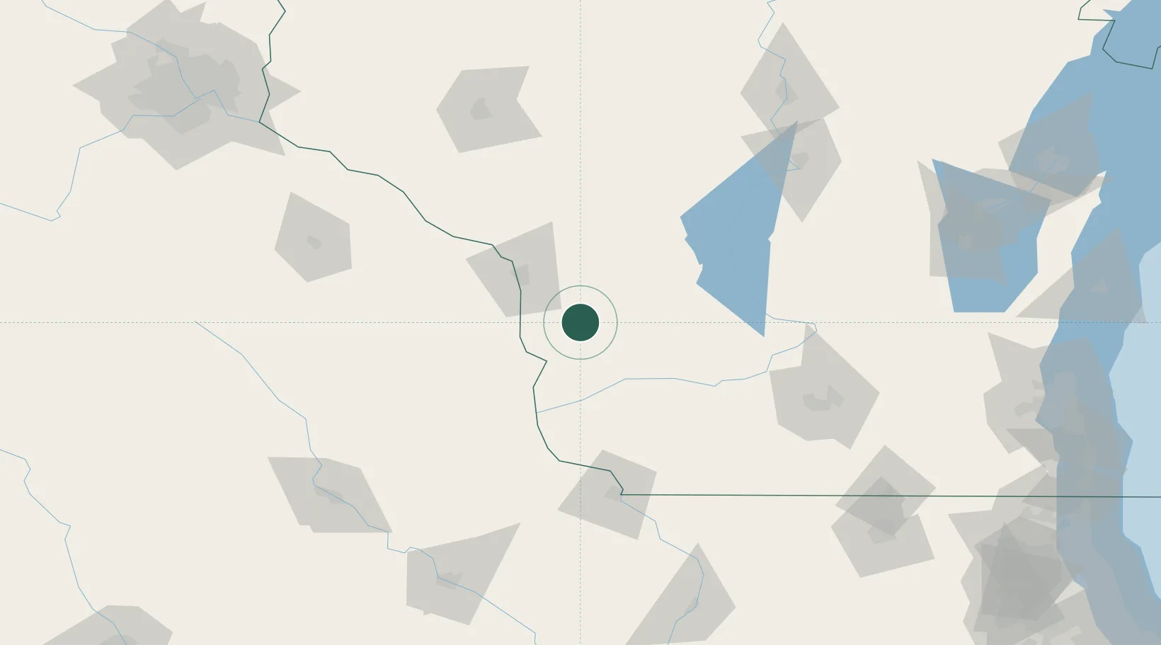
Place type
Provincial seat
Region
Wisconsin
Population
4,362
Time zone
America/Chicago
Elevation
386 m
Location
Nearby Logistics Neighbours
Ports
- 1Kaukauna225 km
- 2Port Washington244 km
- 3Milwaukee250 km
- 4Green Bay253 km
- 5Sheboygan257 km
Airports
- 1La Crosse Regional Airport47 km
- 2Volk Field67 km
- 3Dubuque Regional Airport128 km
- 4Dane County Regional Truax Field133 km
- 5Rochester International Airport136 km
Trade Zones
- 1FTZ No. 266 Dane County109 km
- 2FTZ No. 271 Jo-Daviess and Carroll Counties147 km
- 3FTZ No. 175 Cedar Rapids192 km
- 4FTZ No. 176 Rockford199 km
- 5FTZ No. 167 Brown County231 km
DatabookThe Record of Consolidated Knowledge
United States beyond logistics?