Transport Functions
Road
Multimodal
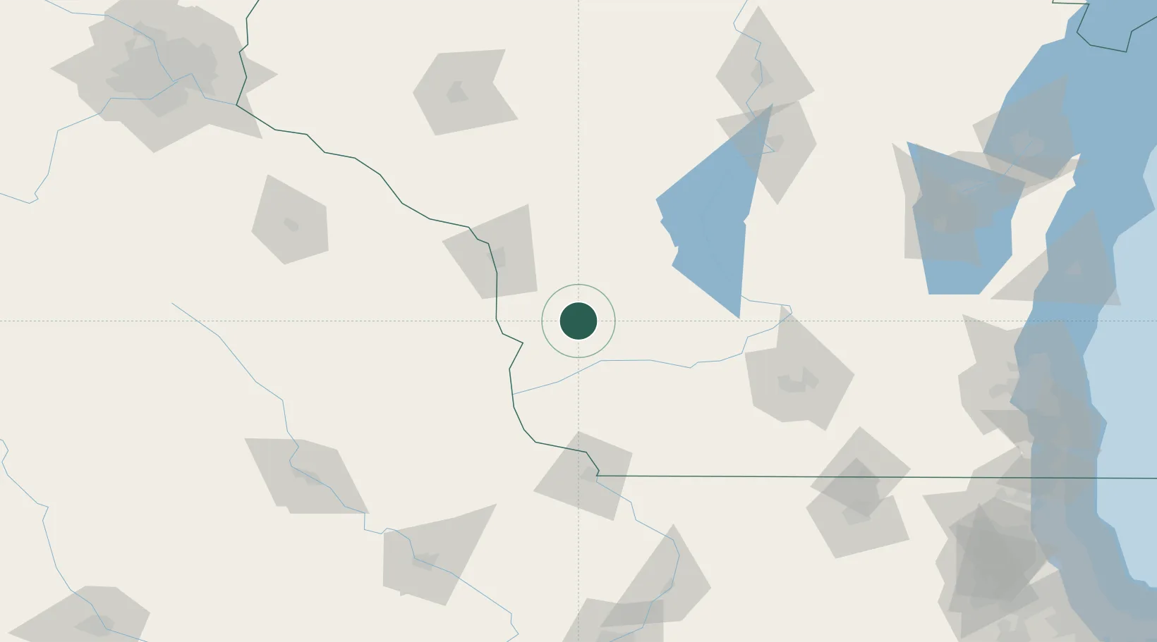
Hub Profile
Place type
Populated place
Region
Wisconsin
Population
416
Time zone
America/Chicago
Elevation
232 m
Location
Nearby Logistics Neighbours
Cities
- 1Viroqua16 km
- 2Cashton34 km
- 3Hillsboro40 km
- 4Harpers Ferry43 km
- 5Mauston44 km
Ports
- 1Kaukauna220 km
- 2Port Washington233 km
- 3Milwaukee237 km
- 4Sheboygan248 km
- 5Green Bay249 km
Airports
- 1La Crosse Regional Airport63 km
- 2Volk Field68 km
- 3Dubuque Regional Airport117 km
- 4Dane County Regional Truax Field119 km
- 5Rochester International Airport150 km
Trade Zones
- 1FTZ No. 266 Dane County95 km
- 2FTZ No. 271 Jo-Daviess and Carroll Counties133 km
- 3FTZ No. 176 Rockford183 km
- 4FTZ No. 175 Cedar Rapids186 km
- 5FTZ No. 041 Milwaukee218 km
DatabookThe Record of Consolidated Knowledge
United States beyond logistics?