Transport Functions
Port
Multimodal
Hub Profile
Place type
Provincial seat
Region
Wisconsin
Population
4,374
Time zone
America/Chicago
Elevation
269 m
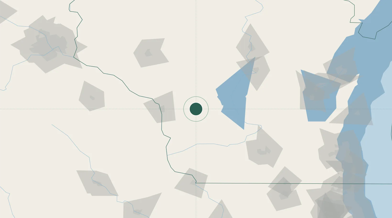
Location
Nearby Logistics Neighbours
Ports
- 1Kaukauna196 km
- 2Green Bay222 km
- 3Port Washington228 km
- 4Sheboygan236 km
- 5Milwaukee239 km
Airports
- 1Volk Field33 km
- 2La Crosse Regional Airport50 km
- 3Dane County Regional Truax Field130 km
- 4Central Wisconsin Airport130 km
- 5Chippewa Valley Regional Airport133 km
Trade Zones
- 1FTZ No. 266 Dane County113 km
- 2FTZ No. 271 Jo-Daviess and Carroll Counties172 km
- 3FTZ No. 167 Brown County200 km
- 4FTZ No. 176 Rockford211 km
- 5FTZ No. 041 Milwaukee221 km
DatabookThe Record of Consolidated Knowledge
United States beyond logistics?