Medium airport · United States
Dubuque Regional AirportKDBQ
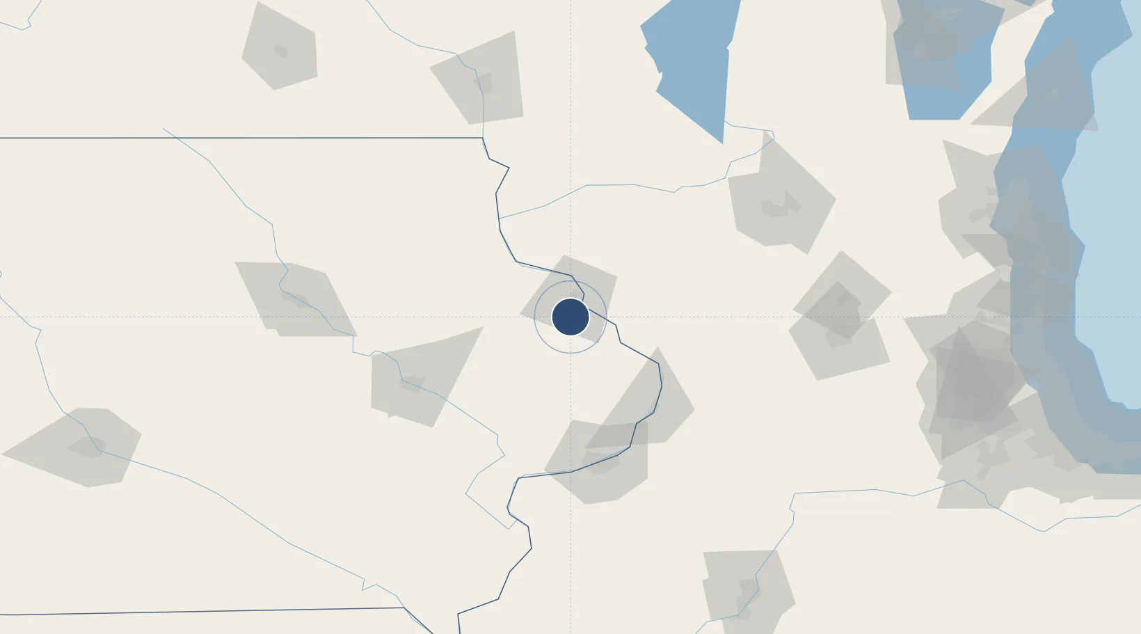
42.4020°, -90.7095°
6,502 ft
Longest runway
2
Runways
1,077 ft
Elevation
Runway & Layout

Radio Frequencies
ATIS
127.25 MHz
TWR
119.5 MHz
GND
121.8 MHz
CTAF
119.5 MHz
CNTR
127 MHz
CHICAGO CNTR
RDO
122.05 MHz
FORT DODGE RDO
UNIC
122.95 MHz
UNICOM
Navaids
DB NDB Zilom 341 kHz
DBQ VORTAC Dubuque 115.80 MHz
Runways · 2
| Runway | Dimensions | Surface | True heading | Lit |
|---|---|---|---|---|
| 13/31 | 6,502 × 100ft | Concrete | 135° | ✓ |
| 18/36 | 6,327 × 150ft | Concrete | 180° | ✓ |
Airport Specifications
IATA code
DBQ
ICAO code
KDBQ
Airport class
Medium airport
Scheduled service
Yes
Runway surface
Concrete
Served city
Dubuque
Location
Nearby Logistics Neighbours
Airports
Cities
- 1East Dubuque11 km
- 2Farley24 km
- 3Van Buren29 km
- 4New Vienna35 km
- 5Scales Mound38 km
Ports
- 1Great Lakes237 km
- 2Waukegan238 km
- 3Kenosha238 km
- 4Milwaukee241 km
- 5Racine242 km
Trade Zones
- 1FTZ No. 271 Jo-Daviess and Carroll Counties40 km
- 2FTZ No. 175 Cedar Rapids102 km
- 3FTZ No. 266 Dane County111 km
- 4FTZ No. 176 Rockford125 km
- 5FTZ No. 055 Burlington180 km
DatabookThe Record of Consolidated Knowledge
United States beyond logistics?