Transport Functions
Rail
Road
Hub Profile
Place type
Populated place
Region
Arizona
Time zone
America/Phoenix
Elevation
1,194 m
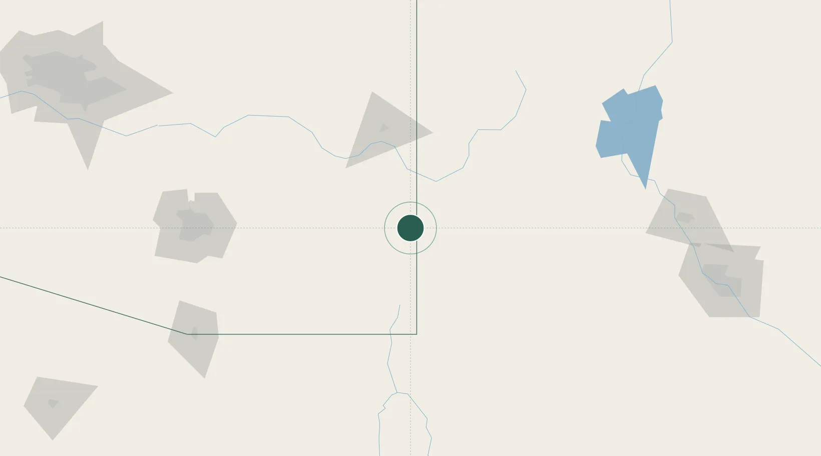
Location
Nearby Logistics Neighbours
Ports
- 1Guaymas511 km
- 2Santa Rosalia625 km
- 3Isla San Marcos632 km
- 4Ensenada711 km
- 5Topolobampo738 km
Airports
Trade Zones
- 1FTZ No. 139 Sierra Vista136 km
- 2FTZ No. 197 Dona Ana County163 km
- 3FTZ No. 174 Pima County173 km
- 4FTZ No. 060 Nogales199 km
- 5FTZ No. 068 El Paso262 km
DatabookThe Record of Consolidated Knowledge
United States beyond logistics?