UN/LOCODE hub · United States
USICX

Willcox

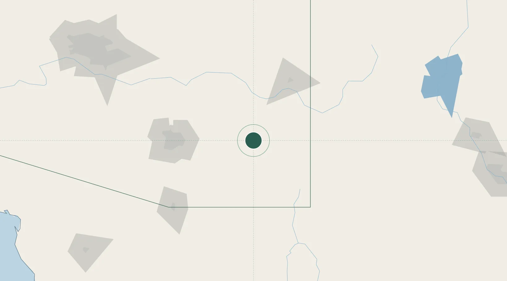
32.2500°, -109.8333°
3,552
Population
3
Transport functions

Transport Functions

Rail
Road
Multimodal
UN/LOCODE

Hub Profile

Place type
Populated place
GeoNames
Region
Arizona
GeoNames
Population
3,552
GeoNames
Time zone
America/Phoenix
GeoNames
Elevation
1,270 m
GeoNames

Location

Location of USICX
Natural Earth 10m (public domain) · Arizona · USICX · 32.25, -109.83GoogleOSMYandex

Nearby Logistics Neighbours

Cities
  1. 1Cochise18 km
  2. 2Bowie34 km
  3. 3Tombstone63 km
  4. 4Thatcher67 km
  5. 5Central69 km
Nearest neighbours — logibook spatial index (haversine) over the source coordinates
Ports
  1. 1Guaymas493 km
  2. 2Santa Rosalia596 km
  3. 3Isla San Marcos604 km
  4. 4Ensenada642 km
  5. 5Rosarito683 km
Nearest neighbours — logibook spatial index (haversine) over the source coordinates
Airports
  1. 1Sierra Vista Municipal Airport / Libby Army Air Field88 km
  2. 2Bisbee Douglas International Airport90 km
  3. 3Davis Monthan Air Force Base99 km
  4. 4Tucson International Airport105 km
  5. 5Nogales International Airport133 km
Nearest neighbours — logibook spatial index (haversine) over the source coordinates
Trade Zones
  1. 1FTZ No. 139 Sierra Vista89 km
  2. 2FTZ No. 174 Pima County104 km
  3. 3FTZ No. 060 Nogales144 km
  4. 4FTZ No. 221 Mesa227 km
  5. 5FTZ No. 197 Dona Ana County231 km
Nearest neighbours — logibook spatial index (haversine) over the source coordinates
DatabookThe Record of Consolidated Knowledge
United States beyond logistics?
Browse databook

All Sources

LocationsUN/LOCODE
UN/LOCODE — free
LocationsGeoNames
CC BY 4.0
Portsthe NGA World Port Index
Public domain (US gov)
AirportsOurAirports
Public domain
Trade Zonesthe World Bank SEZ database
CC BY 4.0
Trade ZonesOpen Zone Map
CC BY
← United States locations