Transport Functions
Port
Road
Hub Profile
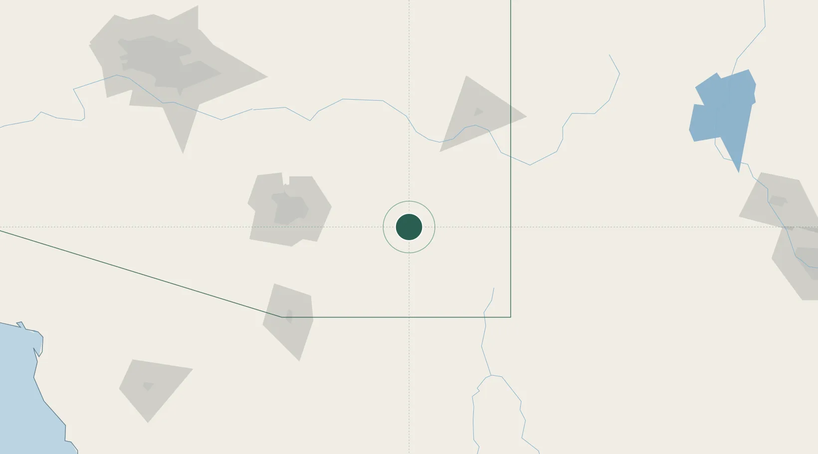
Place type
Populated place
Region
Arizona
Time zone
America/Phoenix
Elevation
1,287 m
Location
Nearby Logistics Neighbours
Ports
- 1Guaymas475 km
- 2Santa Rosalia577 km
- 3Isla San Marcos586 km
- 4Ensenada634 km
- 5Rosarito676 km
Airports
Trade Zones
- 1FTZ No. 139 Sierra Vista70 km
- 2FTZ No. 174 Pima County99 km
- 3FTZ No. 060 Nogales127 km
- 4FTZ No. 221 Mesa231 km
- 5FTZ No. 197 Dona Ana County241 km
DatabookThe Record of Consolidated Knowledge
United States beyond logistics?