Transport Functions
Rail
Road
Multimodal
Hub Profile
Place type
Populated place
Region
New Mexico
Population
637
Time zone
America/Denver
Elevation
1,751 m
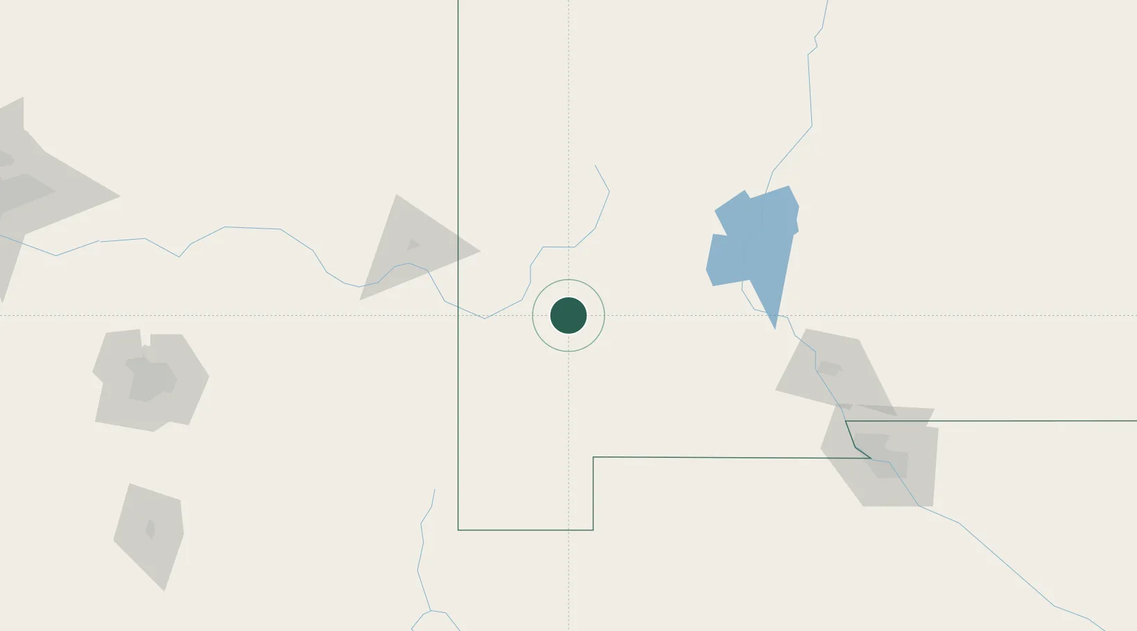
Location
Nearby Logistics Neighbours
Ports
- 1Guaymas580 km
- 2Santa Rosalia701 km
- 3Isla San Marcos706 km
- 4Ensenada782 km
- 5Topolobampo787 km
Airports
Trade Zones
- 1FTZ No. 197 Dona Ana County96 km
- 2FTZ No. 068 El Paso210 km
- 3FTZ No. 150 El Paso210 km
- 4FTZ No. 139 Sierra Vista219 km
- 5FTZ No. 174 Pima County245 km
DatabookThe Record of Consolidated Knowledge
United States beyond logistics?