Medium airport · United States

Grant County AirportKSVC

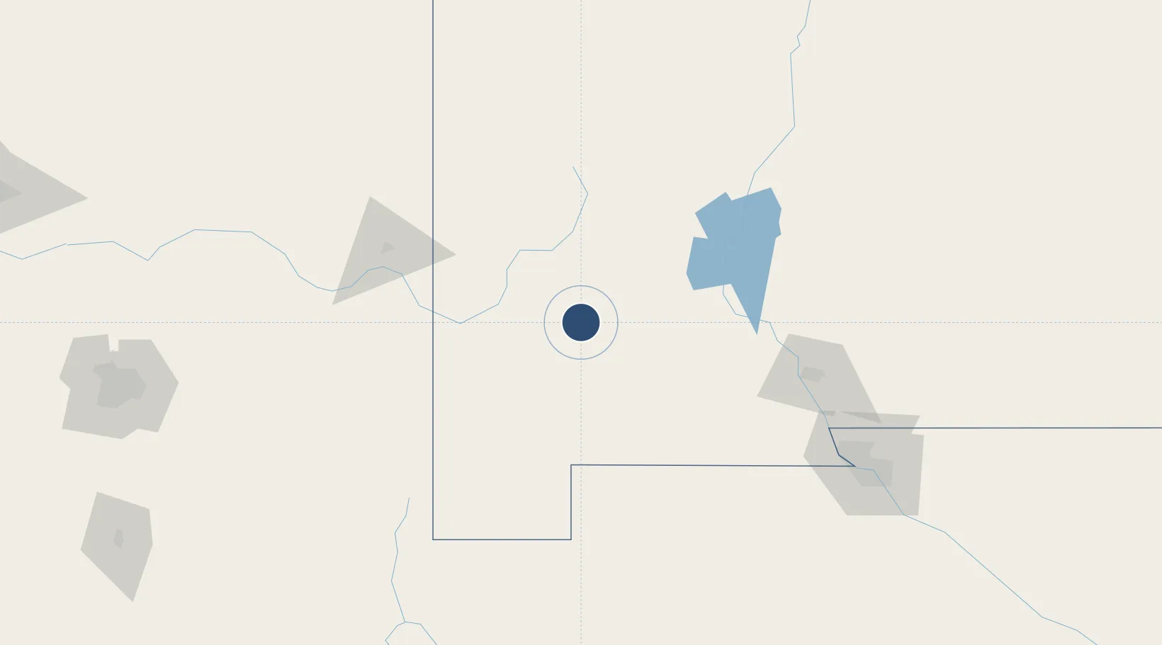
32.6367°, -108.1547°
6,803 ft
Longest runway
4
Runways
5,446 ft
Elevation

Runway & Layout

Grant County Airport runway & taxiway layout
Runway & taxiway layout — OpenStreetMap (ODbL) / OurAirports

Radio Frequencies

AWOS
126.725 MHz
AWOS 3
CNTR
134.45 MHz
ALBUQUERQUE CNTR
RDO
110.8 MHz
ALBUQUERQUE RDO
UNIC
122.8 MHz
CTAF/UNICOM
OurAirports

Runways · 4

RunwayDimensions SurfaceTrue headingLit
08/26 6,803 × 100ft Asphalt 090°
17/35 5,473 × 75ft Graded earth 180°
12/30 4,675 × 75ft Graded earth 135°
03/21 4,537 × 80ft Graded earth 045°
OurAirports

Airport Specifications

IATA code
SVC
OurAirports
ICAO code
KSVC
OurAirports
Airport class
Medium airport
OurAirports
Scheduled service
Yes
OurAirports
Runway surface
Asphalt
OurAirports
Served city
Silver City
OurAirports

Location

Location of KSVC
Natural Earth 10m (public domain) · New Mexico · KSVC · 32.64, -108.15GoogleOSMYandex

Nearby Logistics Neighbours

Airports
  1. 1Deming Municipal Airport58 km
  2. 2Truth or Consequences Municipal Airport106 km
  3. 3Las Cruces International Airport122 km
  4. 4Biggs Army Air Field (Fort Bliss)189 km
  5. 5Bisbee Douglas International Airport189 km
Nearest neighbours — logibook spatial index (haversine) over the source coordinates
Cities
  1. 1Hurley7 km
  2. 2Tyrone20 km
  3. 3Hatch94 km
  4. 4Vanar99 km
  5. 5Rincon102 km
Nearest neighbours — logibook spatial index (haversine) over the source coordinates
Ports
  1. 1Guaymas588 km
  2. 2Santa Rosalia711 km
  3. 3Isla San Marcos716 km
  4. 4Topolobampo787 km
  5. 5Ensenada802 km
Nearest neighbours — logibook spatial index (haversine) over the source coordinates
Trade Zones
  1. 1FTZ No. 197 Dona Ana County77 km
  2. 2FTZ No. 068 El Paso191 km
  3. 3FTZ No. 150 El Paso191 km
  4. 4FTZ No. 139 Sierra Vista235 km
  5. 5FTZ No. 174 Pima County264 km
Nearest neighbours — logibook spatial index (haversine) over the source coordinates
DatabookThe Record of Consolidated Knowledge
United States beyond logistics?
Browse databook

All Sources

AirportsOurAirports
Public domain
Portsthe NGA World Port Index
Public domain (US gov)
LocationsUN/LOCODE
UN/LOCODE — free
Trade Zonesthe World Bank SEZ database
CC BY 4.0
Trade ZonesOpen Zone Map
CC BY
InfrastructureOpenStreetMap
ODbL 1.0
← United States airports