Medium airport · United States
Sierra Vista Municipal Airport / Libby Army Air FieldKFHU
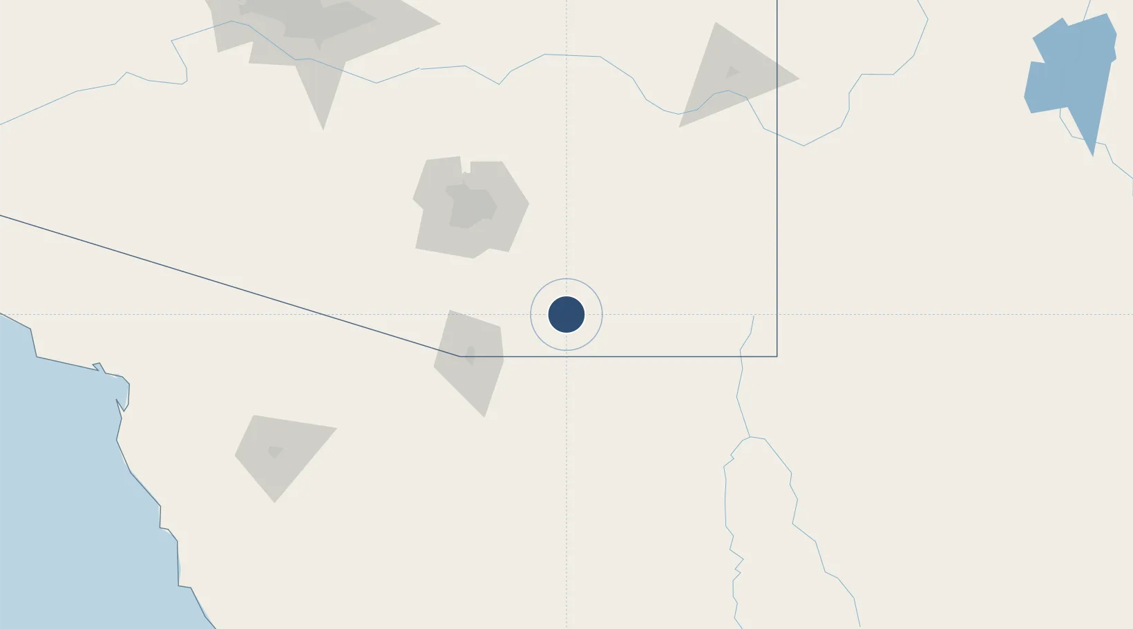
31.5874°, -110.3482°
12,001 ft
Longest runway
3
Runways
4,719 ft
Elevation
Runway & Layout

Radio Frequencies
ATIS
134.75 MHz
ASOS
119.675 MHz
TWR
124.95 MHz
LIBBY TWR
GND
121.7 MHz
CTAF
124.95 MHz
GCA
127.05 MHz
LIBBY GCA
OPS
122.95 MHz
LIBBY OPS
UNIC
122.95 MHz
UNICOM
Navaids
ARH TACAN Libby 111.60 MHz
DAO NDB Dragoo 410 kHz
FHU VOR Sierra Vista Muni/Libby Aaf 113.60 MHz
Runways · 3
| Runway | Dimensions | Surface | True heading | Lit |
|---|---|---|---|---|
| 08/26 | 12,001 × 150ft | Concrete | 090° | ✓ |
| 12/30 | 5,366 × 100ft | Asphalt / concrete | 127° | ✓ |
| 03/21 | 4,285 × 75ft | Asphalt / concrete | 037° | ✓ |
Airport Specifications
IATA code
FHU
ICAO code
KFHU
Airport class
Medium airport
Scheduled service
No
Runway surface
Concrete
Served city
Fort Huachuca / Sierra Vista
Location
Nearby Logistics Neighbours
Airports
Cities
- 1Tombstone30 km
- 2Vail62 km
- 3Tubac67 km
- 4Cananea67 km
- 5Green Valley68 km
Ports
- 1Guaymas412 km
- 2Santa Rosalia509 km
- 3Isla San Marcos518 km
- 4Ensenada595 km
- 5Puerto Morro Redondo610 km
Trade Zones
- 1FTZ No. 139 Sierra Vista6 km
- 2FTZ No. 060 Nogales61 km
- 3FTZ No. 174 Pima County96 km
- 4FTZ No. 221 Mesa246 km
- 5FTZ No. 075 Phoenix263 km
DatabookThe Record of Consolidated Knowledge
United States beyond logistics?