Medium airport · United States

Bisbee Douglas International AirportKDUG

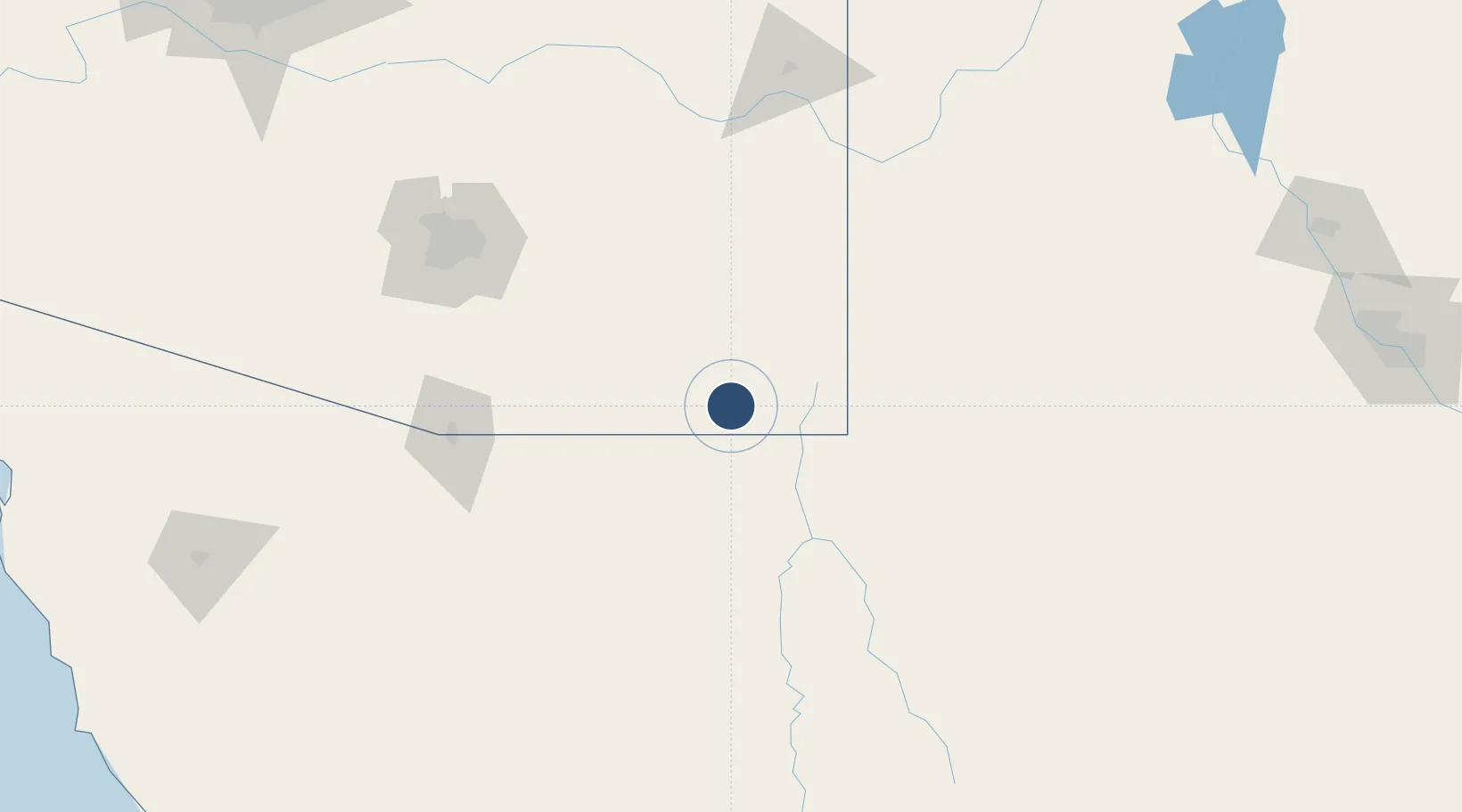
31.4641°, -109.6046°
6,430 ft
Longest runway
2
Runways
4,154 ft
Elevation

Runway & Layout

Bisbee Douglas International Airport runway & taxiway layout
Runway & taxiway layout — OpenStreetMap (ODbL) / OurAirports

Radio Frequencies

ASOS
119.275 MHz
RDO
122.4 MHz
PRESCOTT RDO
UNIC
123 MHz
CTAF/UNICOM
OurAirports

Navaids

DUG VORTAC Douglas 108.80 MHz
OurAirports

Runways · 2

RunwayDimensions SurfaceTrue headingLit
17/35 6,430 × 100ft Asphalt 180°
08/26 4,966 × 60ft Asphalt 090°
OurAirports

Airport Specifications

IATA code
DUG
OurAirports
ICAO code
KDUG
OurAirports
Airport class
Medium airport
OurAirports
Scheduled service
No
OurAirports
Runway surface
Asphalt
OurAirports
Served city
Douglas Bisbee
OurAirports

Location

Location of KDUG
Natural Earth 10m (public domain) · Arizona · KDUG · 31.46, -109.60GoogleOSMYandex

Nearby Logistics Neighbours

Airports
  1. 1Sierra Vista Municipal Airport / Libby Army Air Field72 km
  2. 2Nogales International Airport118 km
  3. 3Nogales International Airport133 km
  4. 4Davis Monthan Air Force Base144 km
  5. 5Tucson International Airport145 km
Nearest neighbours — logibook spatial index (haversine) over the source coordinates
Cities
  1. 1Agua Prieta19 km
  2. 2Tombstone52 km
  3. 3Cochise77 km
  4. 4Cananea84 km
  5. 5Willcox90 km
Nearest neighbours — logibook spatial index (haversine) over the source coordinates
Ports
  1. 1Guaymas414 km
  2. 2Santa Rosalia528 km
  3. 3Isla San Marcos534 km
  4. 4Topolobampo654 km
  5. 5Puerto Morro Redondo659 km
Nearest neighbours — logibook spatial index (haversine) over the source coordinates
Trade Zones
  1. 1FTZ No. 139 Sierra Vista66 km
  2. 2FTZ No. 060 Nogales127 km
  3. 3FTZ No. 174 Pima County156 km
  4. 4FTZ No. 197 Dona Ana County235 km
  5. 5FTZ No. 221 Mesa301 km
Nearest neighbours — logibook spatial index (haversine) over the source coordinates
DatabookThe Record of Consolidated Knowledge
United States beyond logistics?
Browse databook

All Sources

AirportsOurAirports
Public domain
Portsthe NGA World Port Index
Public domain (US gov)
LocationsUN/LOCODE
UN/LOCODE — free
Trade Zonesthe World Bank SEZ database
CC BY 4.0
Trade ZonesOpen Zone Map
CC BY
InfrastructureOpenStreetMap
ODbL 1.0
← United States airports