UN/LOCODE hub · United States
USZTH
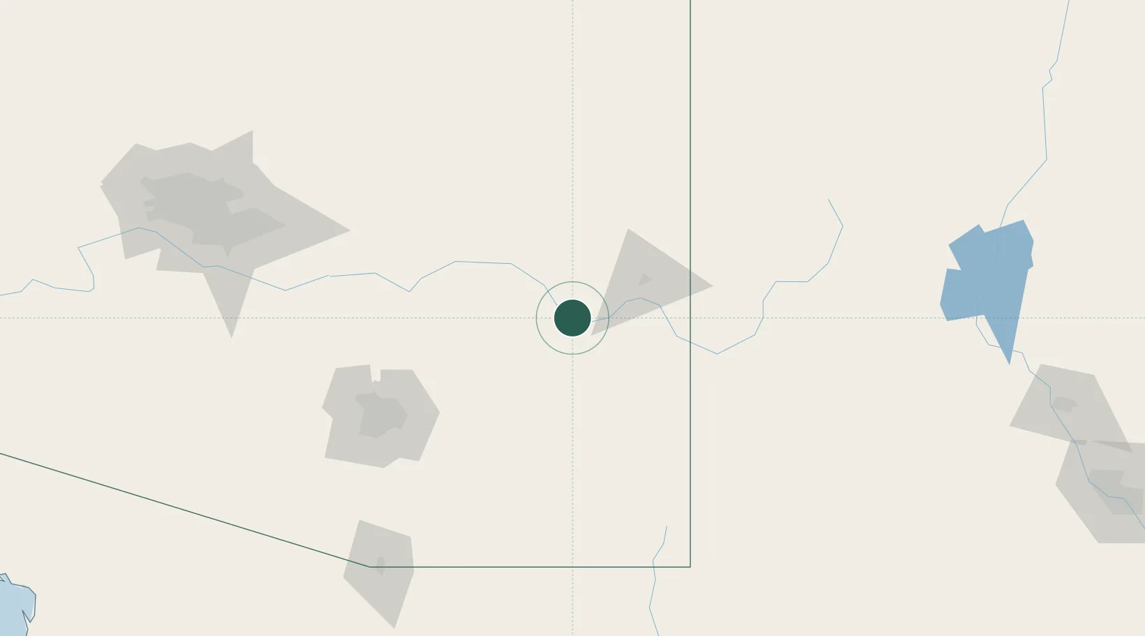
Thatcher
32.8500°, -109.7667°
4,992
Population
2
Transport functions
Transport Functions
Multimodal
Fixed Transport
Hub Profile
Place type
Populated place
Region
Arizona
Population
4,992
Time zone
America/Phoenix
Elevation
887 m
Location
Nearby Logistics Neighbours
Cities
- 1Central2 km
- 2Morenci45 km
- 3Bowie63 km
- 4Willcox67 km
- 5San Carlos, Graham85 km
Ports
- 1Guaymas560 km
- 2Ensenada654 km
- 3Santa Rosalia659 km
- 4Isla San Marcos669 km
- 5Rosarito689 km
Airports
Trade Zones
- 1FTZ No. 174 Pima County127 km
- 2FTZ No. 139 Sierra Vista152 km
- 3FTZ No. 060 Nogales200 km
- 4FTZ No. 221 Mesa202 km
- 5FTZ No. 075 Phoenix225 km
DatabookThe Record of Consolidated Knowledge
United States beyond logistics?